Yes, we have information about the cameras on the drones, so using this information we can design missions. I have provided the specifications in the user interface just to be transparent about the numbers being used. I still have further research to conduct to be 100% sure everything is correct.
About the photos overlapping, you’re right. I actually wrote the function which draws every photo rectangle, but the coordinate system (4326) I’m currently using distorts the polygons depending on latitude, so until I address this distortion, polygons are not visible. Everything looks good at the equator but becomes misleading the further north or south we go.
Im still hoping that Litchi will add on this mapping function.
It’s always better by itself inside the app rather than with other 3rd party.
Just saying & BIG HOPE.
Peace.
Hi ! I’d love to use your tool along with “Flight Planner” plug in, however I find the readme quite obscure for non-coders. I’m not sure where to put the files, how to run the command, how to understand the use of projection centers, etc… Would it be possible to have a clearer readme instruction set, please ?
Hello, you can try to use my script for this. It uses Mission Planner instead.
The README is a bit clearer, with screenshots. If you have any questions, feel free to ask!
I’m working on a newer version with GUI, but for now, check the current Beta version out!
It says that no Mac version yet, however if you download Python for Mac, and obtain a modded version of the code then you can run the py file directly and use it that way (I haven’t tested it on macOS but I assume it would work)
Hi Yaroslav, yes I have tried your tool successfully, which is for now the only fully working flow between QGIS and Litchi, when using an AoI with a polygon shapefile. However, I’m trying to find faster solutions as it implies the use of Mission Planner, adding one more step in the workflow. Plus I don’t like MP that much because of the lack of control on some parameters. Still learning, though, so I’m sure it will get better !
If only Litchi would just add AT LEAST a tool to display a polygon…
There are 2 perfect “Mapping/survey grid tool” for Litchi
why cluster with to many options “Mission Hub - Litchi” the majority users are happy
with these functions as it is, for a small groep of users “Mapping/survey grid tool”.
which is available and works fine with “Mission Hub - Litchi” there you can edit your missions created either by “virtual-litchi-mission” and “ancient.land” and that for FREE ! no charged service. First make sure that everything works in “Mission Hub - Litchi” before adding new feature
I have used them both and they do what you want.
You can control your flight virtually in Google Earth,
instructions how to, look at this tuition YouTube
Hi Jeremie, thanks for the feedback. (I apologise for the delay, I’ve been traveling.) The tool is actually quite simple to use; but yes, some familiarity with the Unix command line is assumed, I apologise for that! I built it this way so that it can easily work with scripts that do additional processing and that plug together like a set computing Legos for programming more advanced drone missions. I built it for my own use and shared it just incase others might find it useful. Now that I know that there is interest, I can do some work on making it easier to use.
Here’s what I did:
I added precompiled binaries for Mac OS, Linux, and Windows. This means that you don’t need to build the tool from source code anymore. The Mac OS and Windows binaries are tested.
I updated the installation instructions for Mac OS, Linux, and Windows to include the basic steps required to install fp2lm in those environments. (For Windows, the built-in PowerShell app is Unix-compatible and is what I would recommend for running command line tools like fp2lm.)
How come Litchi havent implemented this yet? Every other software for autonomous flights have it. Maybe it’s hard to implement? No 3rd party software would beat a polygon feature in mission hub and the app to use while out in the field.
@Fredrik_Olov_Backe
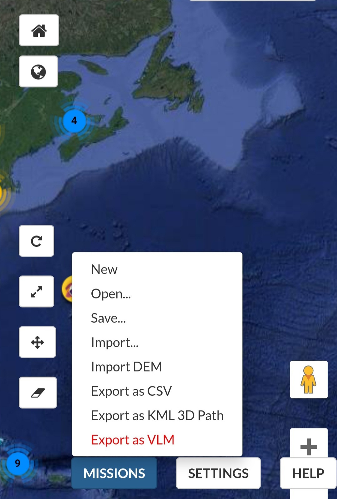
Have you tried to use … https://ancient.land/ ?
Give it a try.
Its been discussed here and in other posts.
Yes, it may be difficult to implement. I have no idea. But the cost of other software that has it is about 4x as much as Litchi.
Yes i’ve tried it but they use mapbox satellite which is outdated. I work in the forest and need to see felled forest and new dirt roads etc. I use arducopter + converter to CSV. It works, but cant plan anything from mobile.