Understood. Twice should work which is almost always the way to manually start the motors. I think this changed from once to twice happened after I got my Air 3. Enjoy.
wonderful!!
It’s very good, it worked very well for me.
A promising app. It worked perfectly with the Mini 4 Pro.
Hello, will I need to purchase a license to use Litchi Pilot for area mapping? If so, where can I purchase a license?
Hi there
any one can recommend a maximum number of way points per litchi pilot mission in order not to crash the RC memory, as I understand this is the main limiting factor
I am using Mini 3 and RC - NC1.
I need this to approximate a maximum sampling capacity for each field day given a limited set of batteries. My plan is to keep loading different missions without landing till each battery load is depleted. Cheers
By the way, great app.
Icing on the cake would be an histogram for those who are doing manual obturation all they way points. so we can map the dynamic range with the maximum obturation speed possible, since it is a factor for photogrammetry works
Also I hope on day we have a QGIS pluging so we can unleash true GIS power on this nice app.
When using the RC-N1 with a device it has nothing to do with the controller. It will depend on what device you are using. More powerful processing devices can handle many more. You will need to test to see what your device can handle. The issues you probably have heard about are when using a DJI controller with a built-in screen. They struggle with too many waypoints and/or some waypoints functions.
I’ve been using it with great enthusiasm and a lot!
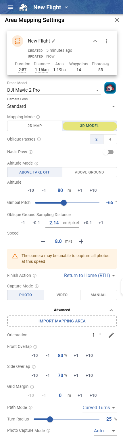
But today, while planning a 2D mapping mission, I saw that the Gimbal Pitch option disappeared…
This choice was very important because, in my case, I was doing a cross-flight with one nadir pass and one oblique pass.
Overall, I think the app is very good!
Hi there, does the beta support magic leash?
No it does not, there are no plans to add support for it at this time
Nice to see this still receiving updates. I recently tried it for the first time with a 2D photogrammetry grid. Unfortunately in the middle of the mission something crashed, i think it said transmission lost or something like that, even though the drone was only 100m clearly in front of me. It did continue though from the previous checkpoint. I shall try again soon.
Can anyone give any general advice on making a large 2D map? I just want to make the biggest most detailed map i can with 1 battery. The last one i tried took about 15 minutes, and was using 12MP mode on mini 3. But the finished result looked similar detail as i could have gotten by just taking a single 48MP shot at a higher altitude.
Hi everyone,
today I used Litchi Pilot Build 605 for first time on same area with same mission I’m working by weeks and I’ve experienced two heavy “drone signal lost” with apparently no reason.
Before I used Build 595 on same area with absolutely no signal problems.
I wrote “heavy” because there was no way to recover drone (Mini 3) without switching off and consequently switching on the controller.
That may be a bug in the latest SDK 5.18.0 but we’ve now reverted to 5.17.0 in build 607 so you should be fine again
Thank you, Vico. Tomorrow I will test Built 607.
I re-ask for all users of Litchi Pilot: Can we financially support this great Litchi Pilot project through a license, please?
Today I tried my first automated flight using a DJI mini 3 and Litchi Pilot on a Redmi 10 cellphone. I tried first only a semi-rectangular path with smooth curves and it worked beatifully! Thank you.
I noticed there is no way to automatically create a grid, correct? I did it manually, so next time I will try that, to scan a field.
You can create a grid/ mapping mission in Litchi’s Mission Hub and then fly it with your Mini 3.
1 Like
Thank you. How can I create the grid automatically?
I couldn’t find any polygon nor an option for that, so I create waypoints manually.
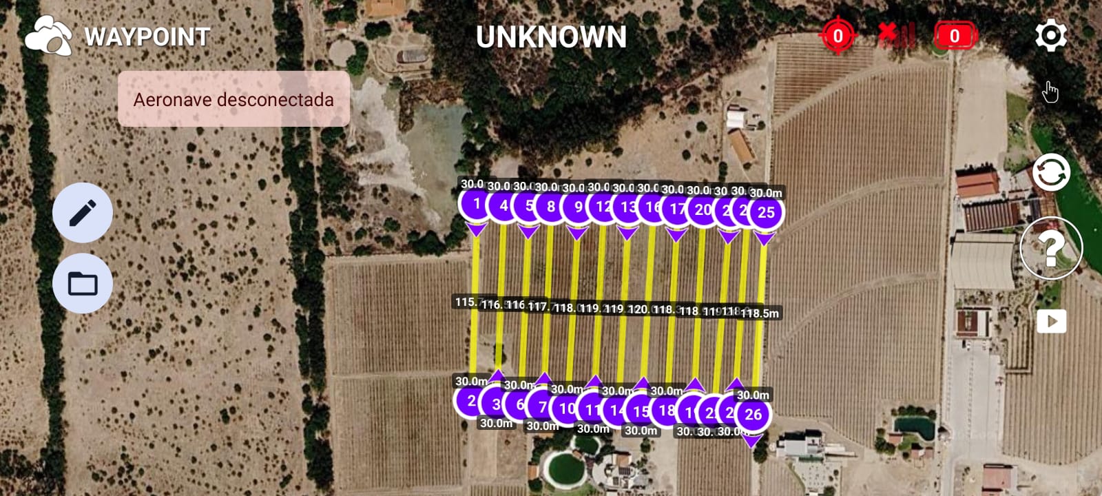
You need to use the Mission Hub to design your mission, not the Litchi Pilot app:
Yes thank you, I understand that. What happens is that I cannot find the icon or the command in hub to make the grid.
I can place way points all right, but I don’t know how to proceed from there to make the grid.