Yes, which is the main point you wanted… (you prefer to have the top of images to be oriented to north). I neglected to mention that.
I was just mentioning it to clarify the point for the edification of any viewers of this thread who are like me (just learning my way around the Grid Waypoint Tool) 
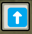
Also, to make the orientation consistent the “Alternate Directions” icon must be this:

hi James
How dificult you put a camera settins in XML format like Mission Planner?
here what I see in “documents\cameras.xml”
I use DroneDeploy for grid missions. It calculates images to be taken, batteries needed, continues mission after battery change and can import a KML file. If I’m flying a lot or acreage need to see an overlay of parcel data to accurately plan a mission. This would be nice as I can’t get DroneDeploy on my RC Pro.
Mavic Pro, Air 2s
ODM for stitching DSM/DTMs free
QGIS free
DroneDeploy (explorer) free
Thanks,
Dwayne
That tools is exactly what I was looking for thank you!
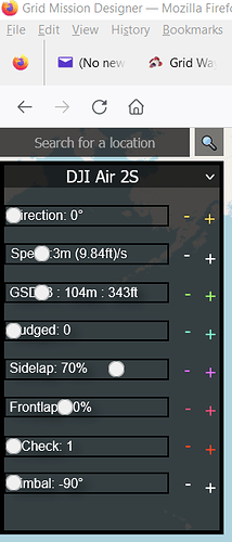
May I suggest you to test your UI on Firefox, slider are a bit broken.
Would it be possible for you to implament a double grid option? Possibly a delete button to? hate to be nite picky but I love what your doing I just want to see this application go farther, Ive been using it for a few months now and it hasnt been the smoothest workflow but I still use it everday.
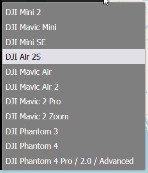
I am puzzled a bit. When I bring up ancient.land in MicroSoft Edge I can choose Air 2S as the drone but if I use Firefox the Air 2S is not available.
Works for me in Firefox:

Try refreshing your Firefox cache: When viewing Ancient.Land, press CTRL-F5.
I just change the direction by 180 degrees and save a second mission. that’s pretty simple.
Do you mean … rotate it 90°?
Yeah, sorry. That’s what I do if I want a double grid.
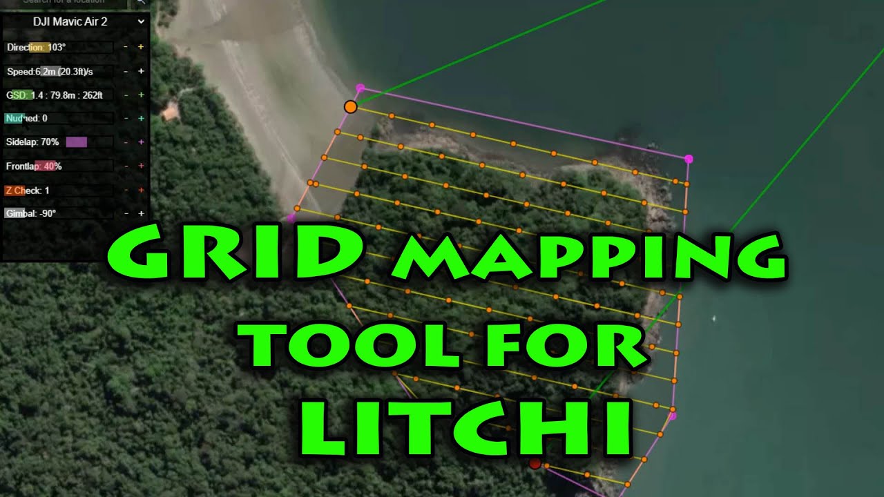
what app are you using to render this to 3d
To what are you referring?
Great, great program James !
I am using dronedeploy for 4 years. Now it’s possible to do orthomosaic with Mavic3, usinge you Grid Mission Designer and Litchi Waypoint Mission to DJI Fly Waypoint Mission https://www.litchiutilities.com/litchiToM3.php. FOV of Mavic 3 is the same of Air2.
I would love if there were a option to import KML shapes, and CSV of exported missions.
Thanks a lot
Emilio
Brazil
Superb tool, thank you so much.
On my first time using it and exporting (then importing into Mission Hub and Mavic 2 Pro).
When launching the mission from Litchi - I keep getting an inexplicable:
“Mission Error - the elevation is too high”
But the mission is very simple and ranges from 50m to 124m…
All Mission Hub created missions are fine. Just ones imported from these CSV files…
I wonder if anyone here has an idea why this is happening?
124m is 406 ft, which is above the legal limit to fly.
Lower the altitude to 121m and it should be fine.
Change the “Maximum Altitude” in Aircraft Settings.
ah of course! thank you.

