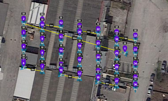
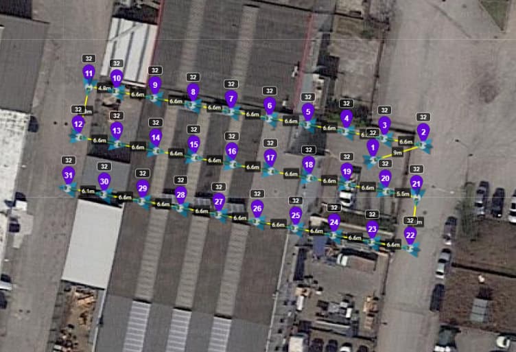
hi, using the beta app with mavic mini pro 3 for photogrammetry, I find it inconvenient that to create a map you have to do it by hand. I used this web app which is useful https://ancient.land, however when it creates a map with lots of waypoints. When I start the mission sometimes it completes it while other times it stops on the waypoints and then I have to restart the mission but it stops again after some other waypoint. Have you found alternative ways to create missions?
Could it be a distance or interference issue, since the Mini 3 Pro is a VSC drone and relies on the constant controller/drone signal to complete the mission?
The Ancient.land / Litchi combination works well.
It would help if you would share your mission and the flight log.
Just a picture of the mission does no good. Here is what I meant by sharing a mission, so we can see all of the settings.
misson 1
mission 2
tnx
You forgot to ‘Uncheck’ the Private box. The missions wont show.
Ops retry thank you 
Got them both. I see no reason why they would totally stop and have to be re-started.
In your mission settings, you have Path Mode set to ‘Curved Turns’. That setting will cause any waypoint actions to be ignored. You have the Photo Interval set to 2 seconds which will still take photos.
Change the Path Mode to ‘Straight Lines’ and the waypoint actions will be carried out as planned.
Okkk i try this setting and I will get my opinion here 
@Gianluca, Try this one ![]()
How did you delete the intermediate waypoints?

Z Check until no points in the middle and then it’s a excel vbscript I created to modify the csv to make 4 bearings instead of a grid.
Fantastic! In fact, the intermediate waipoints are of no use in my opinion!
Not with Mini 3 pro with intervals and if you don’t need ‘terrain follow’… If you need or have a Mini 4 Pro or Mavic 3 you need them not to have many curves with DJI Fly Waypoint with Wes Utilities.

