Thanks Vico,
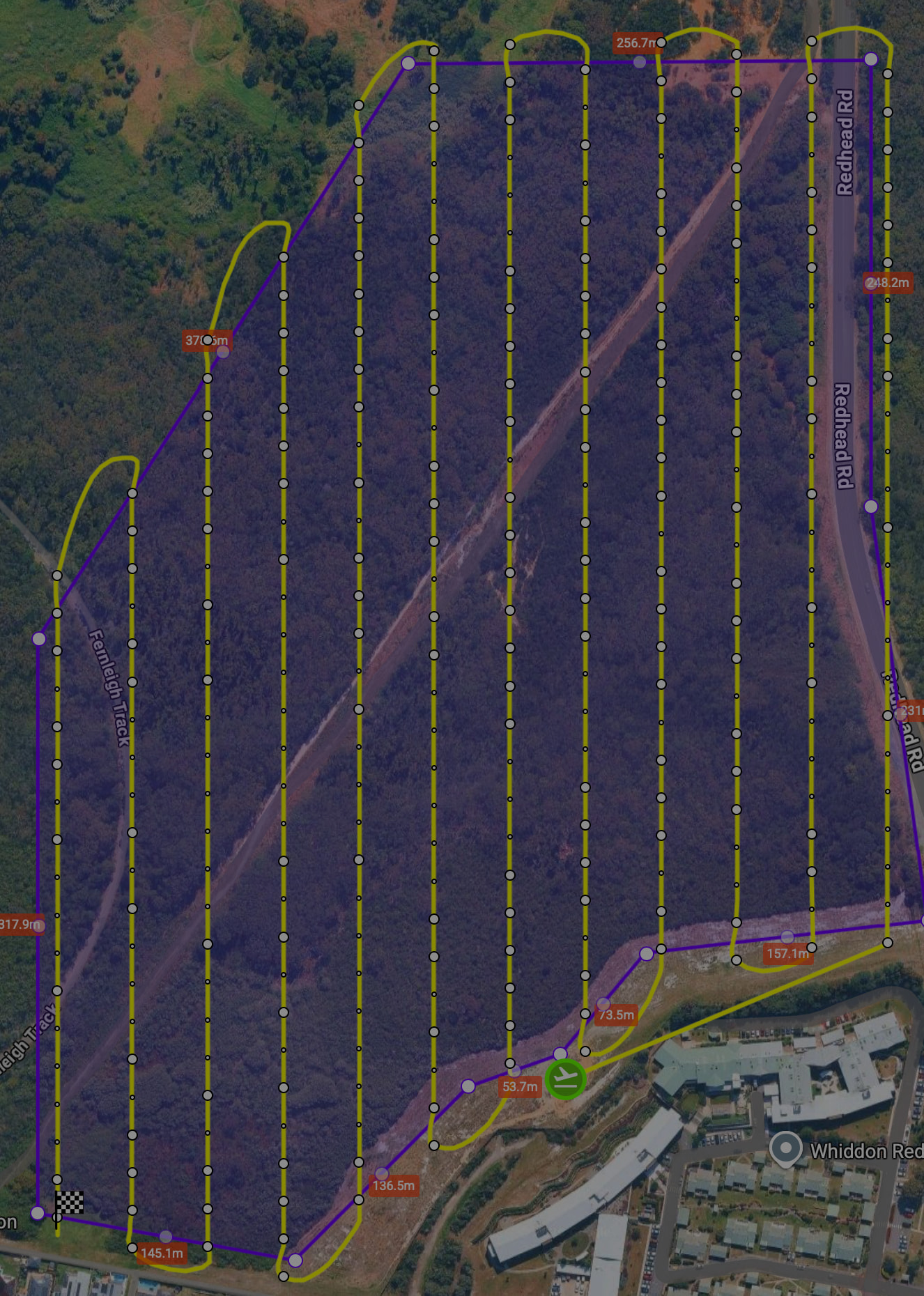
I understand. The need is related to the original post. I’d like to do an ‘Above Ground’ mission but this creates a lot of additional waypoints that then trigger the ‘split the mission’ warning. Waypoint visibility is so I can see how many points are course direction vs course elevation. Example below has 201 waypoints (the larger dots) and the ground does not vary that steeply to warrant it (I think, but still learning). My suggestion was to have a user-selectable tolerance for how frequently to correct elevation.
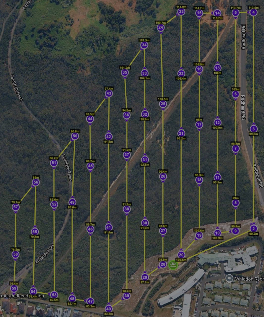
I got around this for this mission by: exporting as KMZ → converting in Mission Utilities to CSV → open CSV and then thin out the number of elevation waypoints to 2 or 3 per leg based on my knowledge of the terrain. Got it down to 60 points (2nd image) and it flew fine for my purposes (gaussian splat model after forest fire) except the battery alert after point 52.