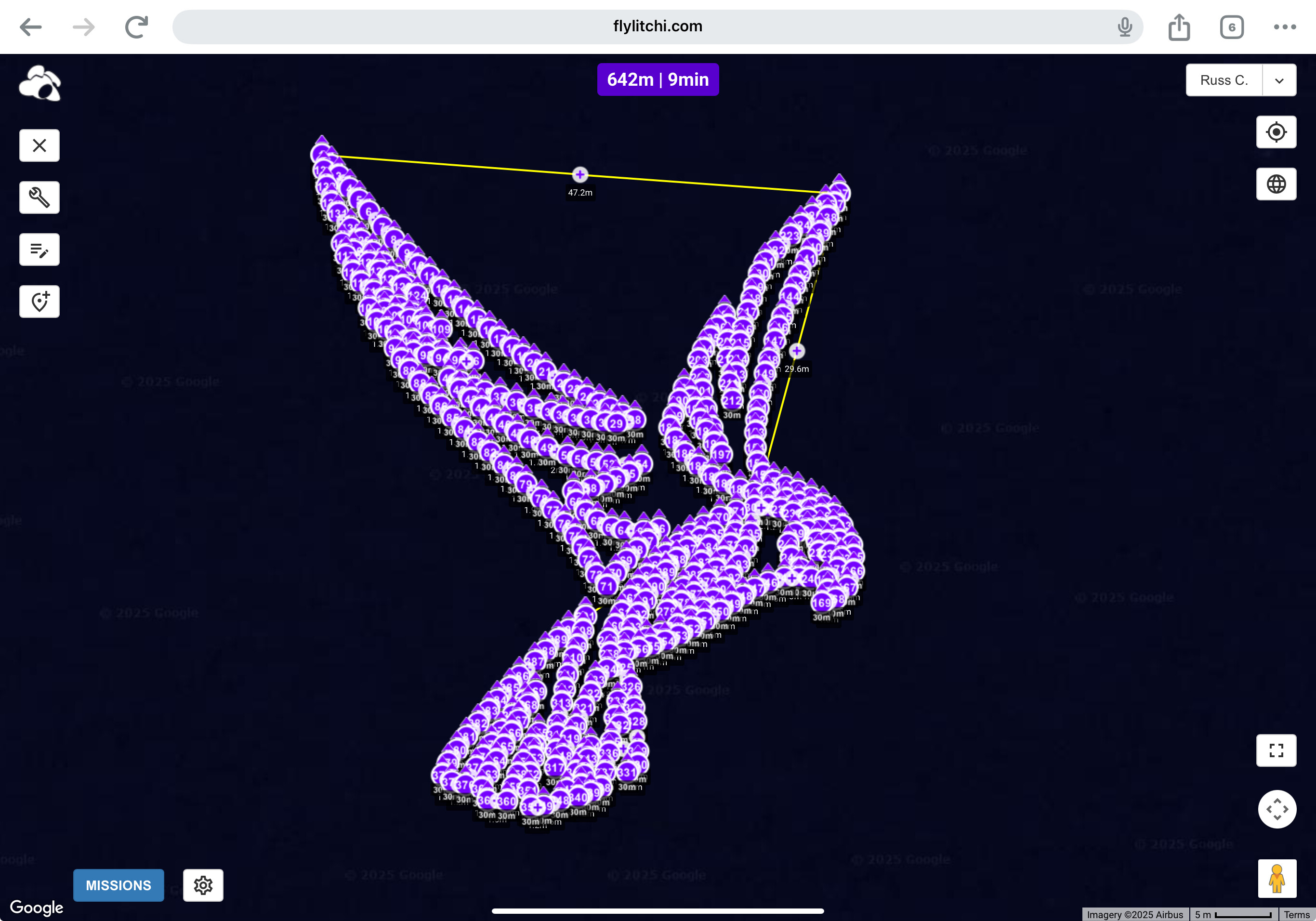
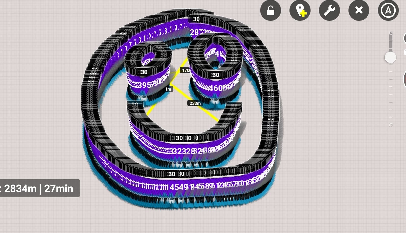
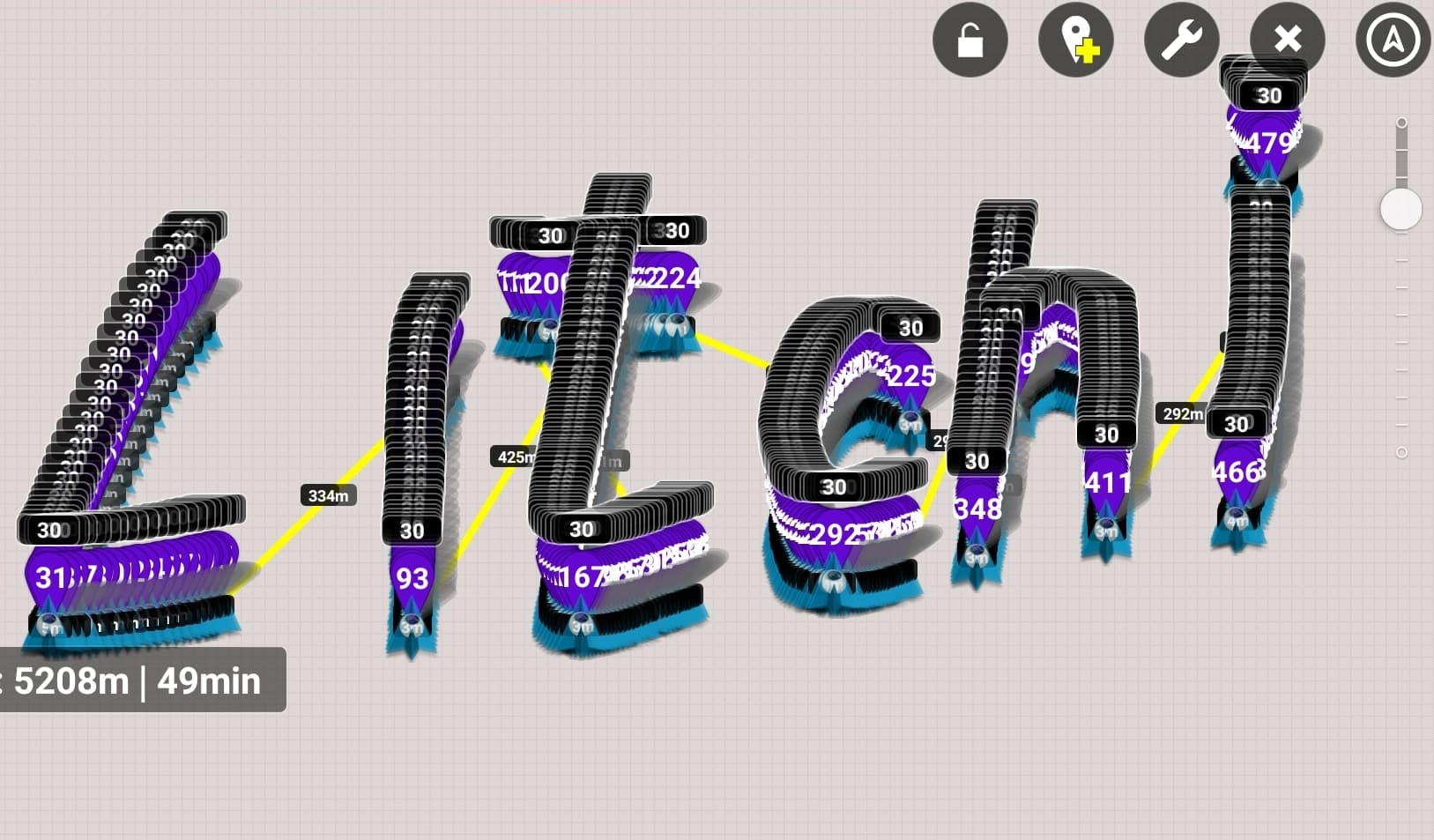
Only the new version of the application is wrong and always sets more distance than specified in the settings. To set 3m you need to zoom in on the map
1 Like
Holy mackerel Paxxa. I am speechless. You are da man. I thought I was a Litchi Meister with a 7th-degree black belt, but now I realize I am nothing but another young grasshopper who has many roads to travel and many lessons to learn.
1 Like
However, I would like to ask Litchi. Why when I do a drawing like the one above in the app, I set the distance to 3 meters, but I get 30-50 meters depending on the scale of the map. If you zoom in very close to the map, you can achieve 3 meters.
Can you help me?
What is the maximum distance allowed in a litchi mission?
5000m for dji go4 drones
The maximum round-trip distance I have achieved with my Mavic Pro Platinum flying Litchi missions has been about 6 miles. Much of those missions were covered while there was NO connection between the drone and the RRC controller, but Litchi can be trusted to fly the drone back home every time or to cut short any missions that are too long, and execute a smart return to home based on battery charge level remaining.
3 Likes
You are the man!
Thanks.
Can you tell if Litichi follows the curved flight line of a flight plan made from an imported KML?
Having recently bought an Air 3 that can continue DJI Fly waypoint missions in the event of RC signal loss, this topic, delving into the key 100-waypoint limitation that applies to Litchi missions flown with older DJI Go-vintage drones, has acquired a new importance now that I am dabbling with the dark art of drone mapping.
I am hoping to ascertain from Vico whether my Air 3 is capable of uploading more than 100 on-board waypoints, before departure so that during a mapping mission comprising more than 100 waypoints, in which there occurs an interruption or disconnestion of the RC signal, the Air 3 will not hover in place like an older DJI Go drone at the 99th waypoint, but will continue the mapping mission and will only RTH in the event of low battery projections.
In other words, I am hoping to capitalize on the ability of an Air 3 to complete a waypoint mission beyond RC signal range, but I am still unclear about whether the 100-waypoint limit for onboard storage is purely a hardware or firmware lockout applicable only to the older DJI Dgo drones, and not a limitation arising from Litchi having an upper limit of uploading no more than 100 waypoints at a time.
Phrased differently, if I launched my Air 3 on a mapping mission made up of say 180 waypoints that are all loaded on board the drone before the drone’s departure on the mission for which I have pre-selected the drone’s action in case of signal loss to be “Continue” the mission, what would happen if the RC signal is lost at say waypoint 95?
Would the Air 3 continue the mapping mission beyond 100 waypoints uninterrupted since the “continue” option was selected for the action to be taken in the event of RC signal loss during any mission?
Or would the Air 3 stop and hover at the 99th waypoint, awaiting reconnection to the RC controller so the next block of less than 98 waypoints can be uploaded before resuming the waypoint mission?.
Newer drone models don’t have a 100 waypoint limit, but for the Air 3 you can’t use Litchi Pilot since there is no SDK for Air 3 at this point. We don’t know if/when DJI will release it.
1 Like
Once again, I thank you for this reply, Vico. I forgot to add that I intended to create the original mapping waypoint grid of the area in question using the Ancient Land utility at this link https://ancient.land
Next, I would export that waypoint sequence from Ancient Lands as a CSV file into Litchi, before finally using Wes Barris’ Litchi to DJI Fly converter to save the waypoint flight as a KMZ file in DJI Fly. Litchi Waypoint Mission to DJI Fly Waypoint Mission Converter
If it turns out that the Litchi team hasn’t yet studied the behavior of an Air 3 or Mavic 3 when flying waypoint missions in DJI Fly exceeding 100 waypoints, to determine whether the Air 3 can be uploaded with say 200 waypoints before takeoff on an autonomous mission during which signal loss may occur, I will be patient and see if there is enough interest in the subject to warrant further investigation by Litchi…
It is true that we did not test. Indeed we are kept very busy with other models already. But I doubt very much there is a restriction with the Air 3 firmware. However DJI may put a restriction in their own app.
1 Like
In tests with people who use my utilities, we have not found an upper limit. Missions with 400 waypoints have succeeded. However, I have found some anomalies with gimbal pitch angles when the waypoint count gets over 200. I have not found a pattern with this anomaly though. This was tested with a Mavic 3.
1 Like
This is music to my ears, Wes. My confidence level is high that the Air 3 will be comparable to the Mavic 3 in performance when the waypoint count is above 100. With DJI Fly’s waypoint editing facility, it ought to be possible to go through and correct any gimbal pitch angle anomalies that surface as the waypoint count rises above 200.
It is reassuring that I am not venturing into uncharted territory with my dastardly plan to send my Air 3 on mapping flights with high waypoint counts within DJI Fly. For my mapping plans, reading the fine print and seeing that the Air 3’s massive 48 megapixel camera would be ideal for mapping flights above 300 feet, with no loss of image resolution, changed my focus away from using my workhorse Mavic 2 Pro for mapping.
I am curious to find out whether DJI Fly has a waypoint number limitation. If I find there isn’t such a limitation, I will be even more careful to avoid all future DJI firmware “upgrades” since they might impose such limitations under the guise of offering “optimized flight parameters” haha
I’ve already mentioned that I work with people who routinely fly missions with hundreds of waypoints using DJI Fly.
1 Like