I do not understand why, when planning a Waypoint mission on the Litchi App or Litchi Mission Hub on-line, or Google Earth Pro I see detailed 3D images of buildings and the ground and can zoom in for greater detail in satellite view…but not so when importing or opening the resulting KML files in Google Earth Pro. The surrounding terrain looks great in the Litch app and Mission Hub but not Google Earth Pro. All apps are latest versions.
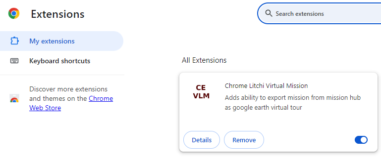
If you are referring to the Virtual Mission Tour that creates a 3D view of your mission, you need to use the VLM extension that is added to your browser.
@Sam_G, honestly I see little to no difference when using Export to VLM, saving the KLM file then double-clicking the KLM to open it in Google Earth Pro.
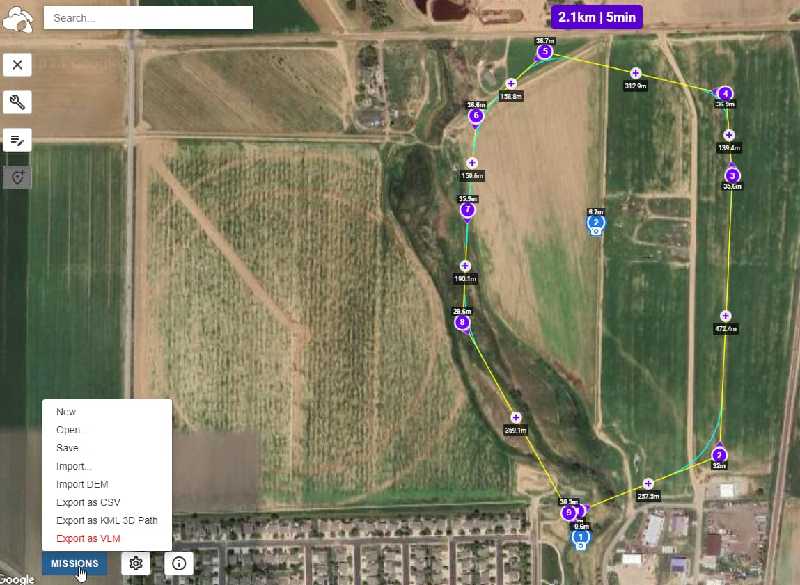
I see none of the detail shown in the satellite view in Mission Hub, plus the “Export to VLM” is in red text as it should be. I cannot find any web reference what this might indicate either.
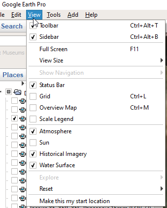
There is a bug in the current version of Google Earth Pro. In the lower left cornet, uncheck “3D Buildings”. You will then have high-resolution terrain with the most recent imagery.