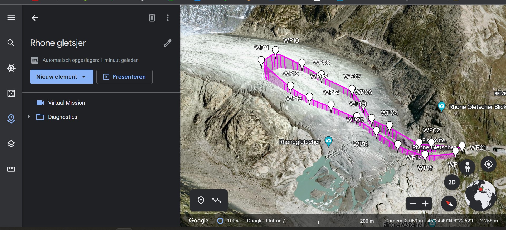
Now that I’ve figured out how it works, I’ll give it a try. With these waypoints you run less risk because the glacier is fairly “flat”. I hope to be able to go this year. Then I will definitely post the result.
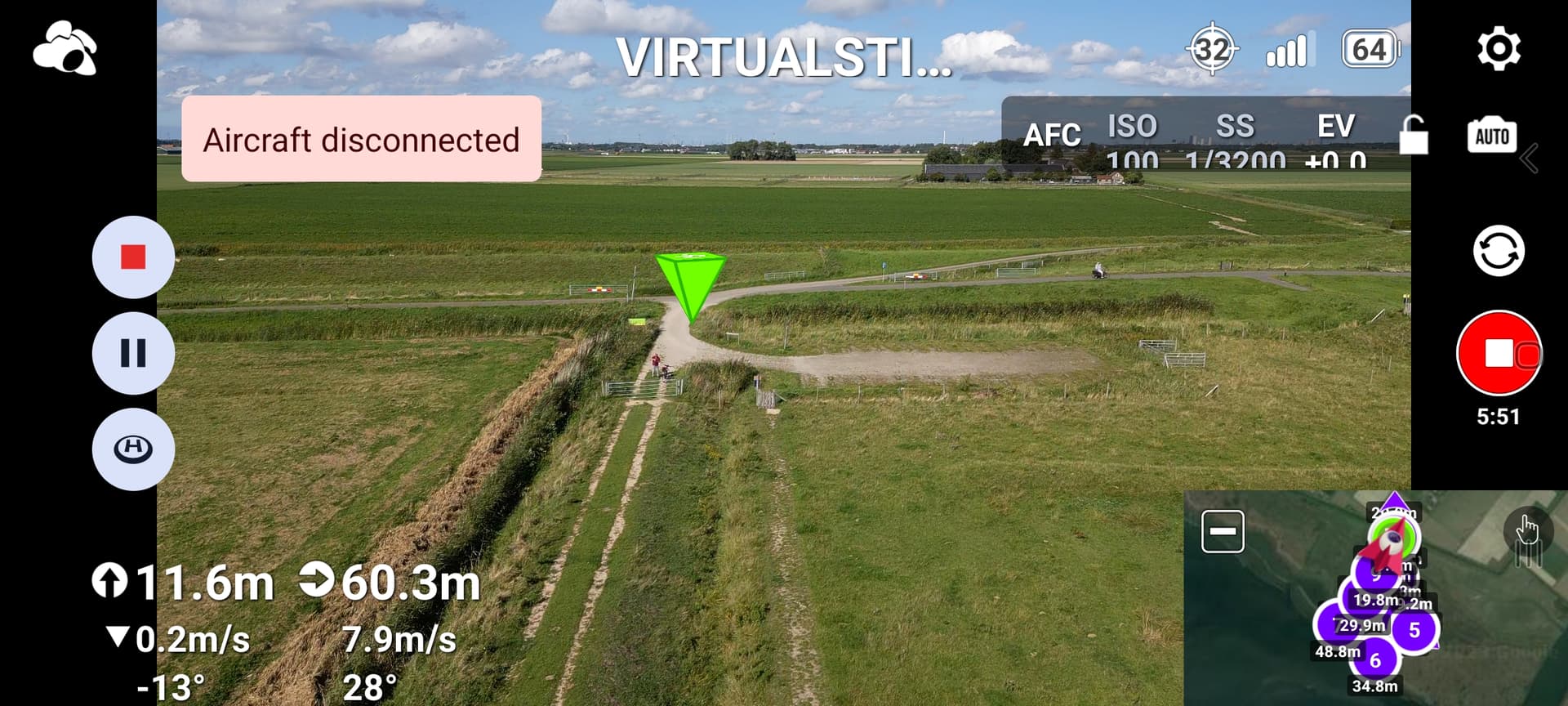
Another test flight today. What bothered me before, when I connect the smartphone to the controller and turn everything on, the controller does not find the drone. You will see the icon in the screen of the drone. Phone restarted and 5 meters in the air everything is fine but screen remains NOT CONNECTED. The drone just flies its route.
The previous 2 posts should be in the Beta thread, shouldn’t they?
Yes Sam_G
There are 3 major problems with this mission:
The maximum flight altitude for DJI consumer drones is 500m above the take off point.
Your WP2 is about 966m above WP1 (2059-1093=966m)
When control signal is lost, the mission is aborted and will either RTH, Hover or land (depending on your settings).
The maximum distance between 2 waypoints is exceeded
Read this threat for some usefull guidelines:
I make the route in Google Earth first, with Waypoints every 100m approximately and I configure the route with a constant relative distance to the ground, following the existing terrain but minimum 100m from the ground because Google Earth also has errors and you need a safety margin.
Then you create the route in KML in Google Earth and save it.
You open the KML with your route in Litchi Hub and you finish giving them the necessary flight parameters, but the flight route is already done.
I always do it like this.
3 Likes