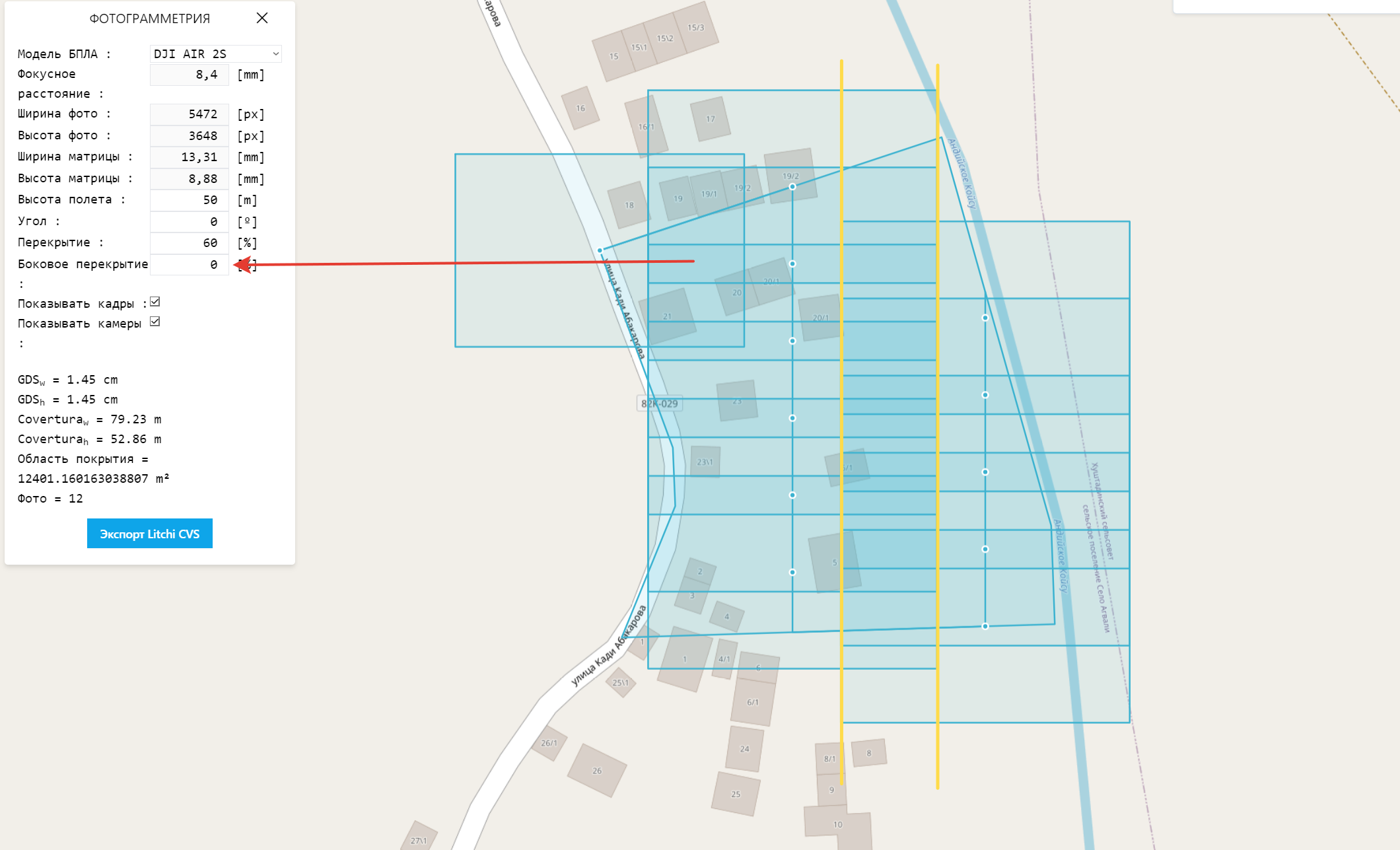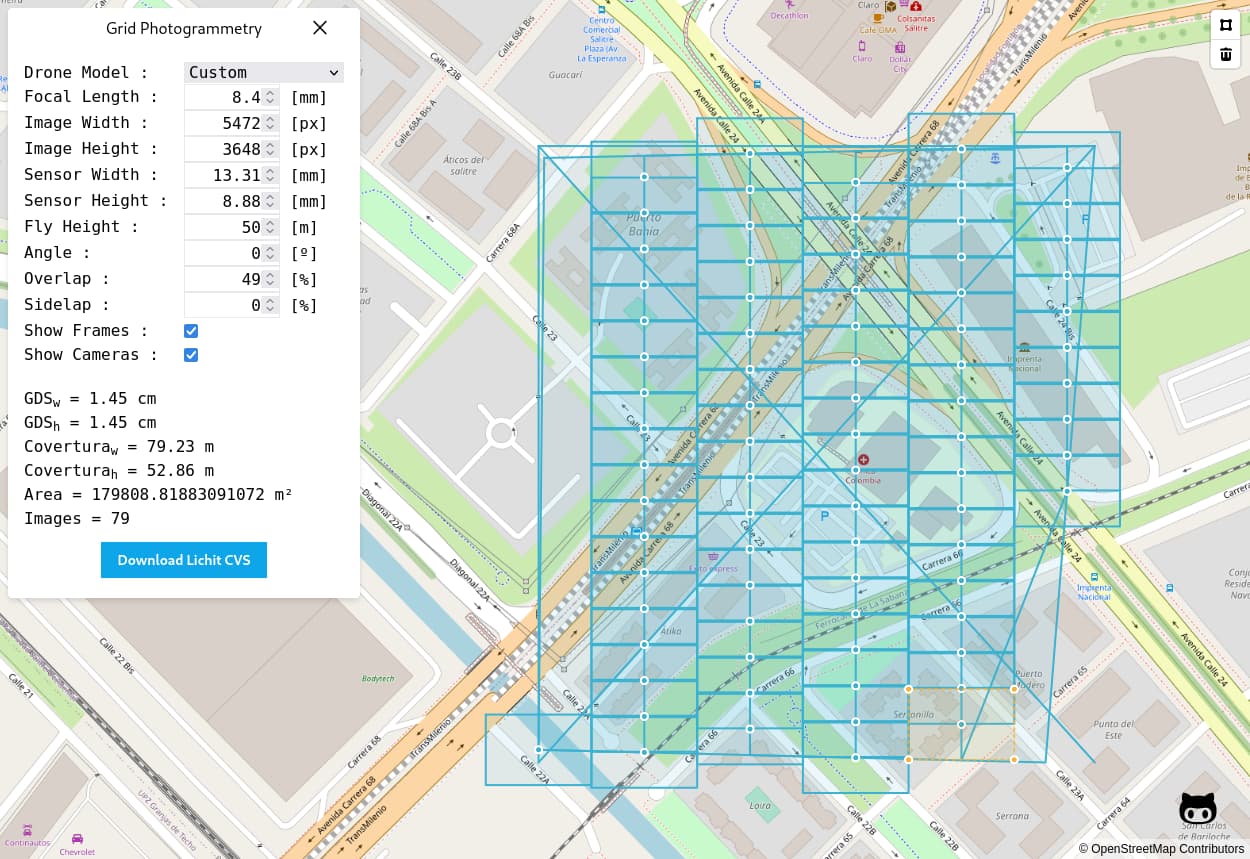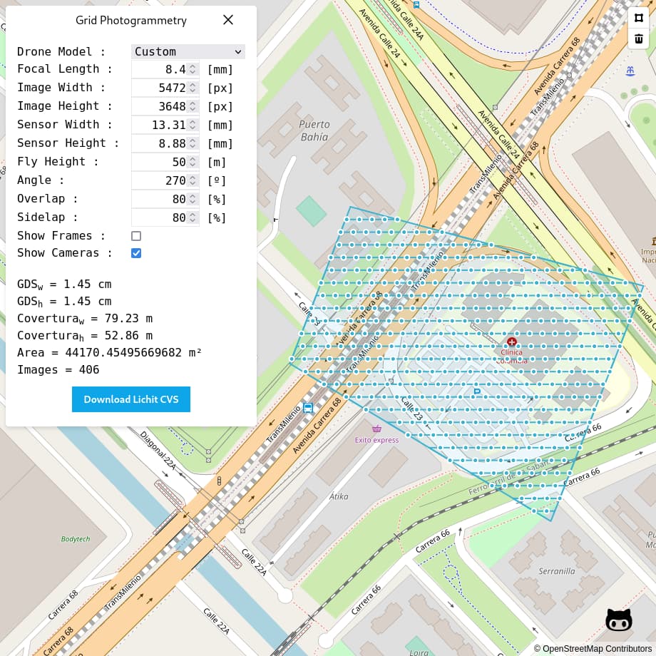
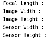
- Configure Parameters
- Draw the polygon
- Download Litchi CVS
Is hosted in GitHub https://afbayonac.github.io/grid-photogrammetry/
Is hosted in GitHub https://afbayonac.github.io/grid-photogrammetry/
Hi!
Well, what can I say, not bad, not bad for a start!
But not very many people bring it to the end, and it’s a pity …
Because there are many opportunities in this program, if you implement them.
I wish you good luck, with uv. Magomed.
Do you have the opportunity to add such functions?
Thank you very much for your work, and I hope for your feedback and understanding of the pilots’ wishes!
Hi. Your tool looks great. Unfortunately I cannot download the file. Any idea what could be causing this?
Greets Chris
Hi!
This is not a program yet, but just a web application.
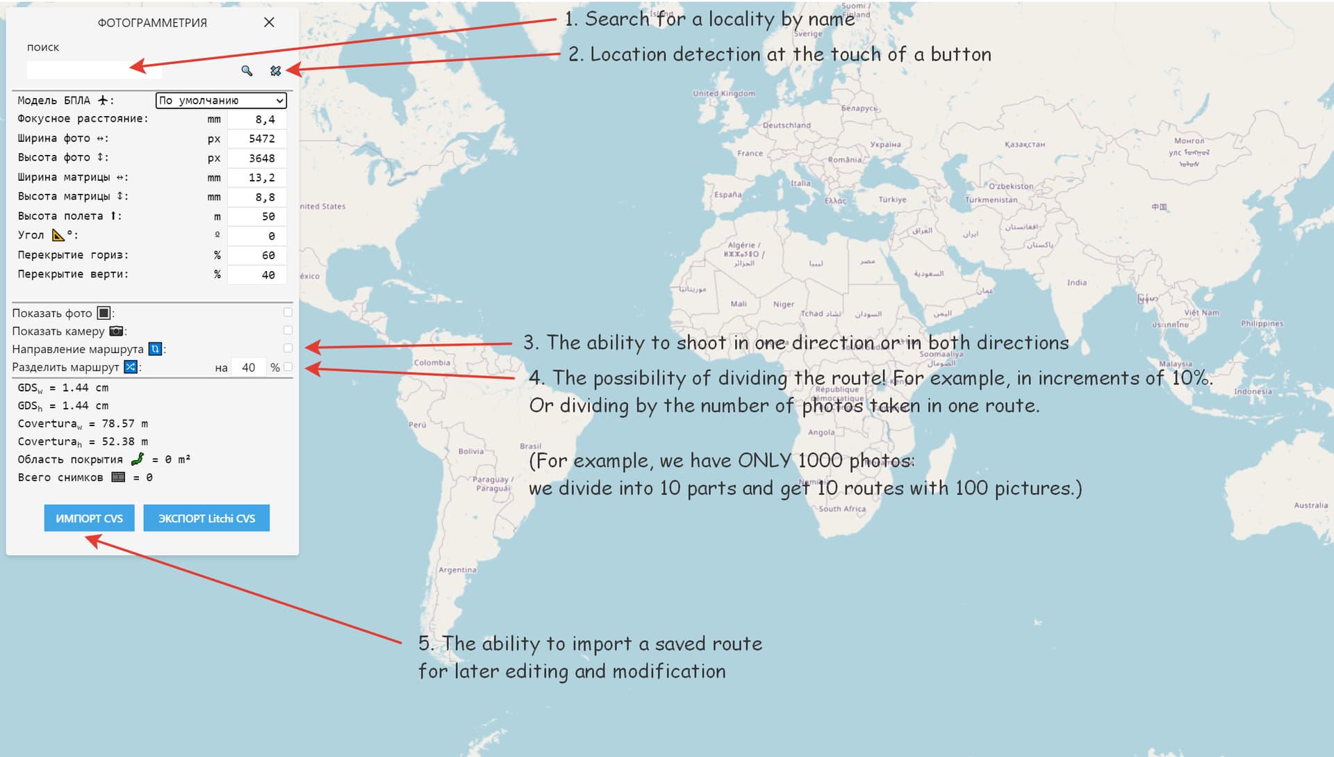
You might want to correct the spelling errors in your program:
“Lichit” should be “Litchi”.
“CVS” should be “CSV”.
Fix thanks
Clear the cache!
Thanks.
I have a error, now is fixed.
Try again.
Clear the cache!
Bonjour, quelle serait la meilleure configuration à utiliser pour un Mini 2 ? Ce n’est pas la même chose que AIR 2 S.
Merci d’avance et belle initiative.
Not, you should look for the correct parameters for the drone, if you have these, I can add them to the list
Merci, très intéressant. 
Friend! If you have a desire to improve and modify your application at least a little, I would advise you to pay attention to these points.
With your permission, I have slightly corrected the database of drone models.
export default [
  {
     name: 'Mavic Air',
	 sensorWidth:  6.3,
	 sensorHeight: 4.7,
     focalLength:  4.9,
     imageWidth:  4056,
     imageHeight: 3040
   }, {
	 name: 'DJI Air 2',
     sensorWidth:  6.4,
	 sensorHeight: 4.2,
     focalLength: 4.49,
     imageWidth:  8000,
     imageHeight: 6000
   }, {
     name: 'DJI Mavic Mini',
     sensorWidth:  6.3,
     sensorHeight: 4.7,
     focalLength: 4.49,
     imageWidth:  4000,
     imageHeight: 3000
   }, {
	 name: 'DJI Mini 2',
     sensorWidth:  6.3,
     sensorHeight: 4.7,
     focalLength: 4.49,
     imageWidth:  4000,
     imageHeight: 3000
   }, {
	 name: 'DJI Mini SE',
     sensorWidth:  6.3,
     sensorHeight: 4.7,
     focalLength: 4.49,
     imageWidth:  4000,
     imageHeight: 3000
   }, {
	 name: 'DJI Mavic AIR 2',
     sensorWidth:  6.4,
     sensorHeight: 4.8,
     focalLength: 4.49,
     imageWidth:  8000,
     imageHeight: 6000
   }, {
     name: 'DJI Mavic Air 2S',
     sensorWidth: 13.2,
	 sensorHeight: 8.8,
     focalLength:  8.4,
     imageWidth:  5472,
     imageHeight: 3648
   }, {
     name: 'DJI Mavic 2 Zoom',
     sensorWidth:  6.3,
	 sensorHeight: 4.7,
     focalLength:  8.6,
     imageWidth:  4000,
     imageHeight: 3000
   }, {
    name: 'DJI Mavic 2 Pro',
     sensorWidth: 13.8,
	 sensorHeight: 8.8,
     focalLength: 10.3,
     imageWidth:  5472,
     imageHeight: 3648
   }, {
	 name: 'DJI Phantom 3',
     sensorWidth:  6.3,
	 sensorHeight: 4.7,
     focalLength: 3.61,
     imageWidth:  4000,
     imageHeight: 3000
   }, {
     name: 'DJI Phantom 4',
     sensorWidth:  6.3,
	 sensorHeight: 4.7,
     focalLength: 3.61,
     imageWidth:  4000,
     imageHeight: 3000
   }, {
     name: 'DJI Phantom 4 Pro / 2.0 / Advanced',
     sensorWidth: 13.2,
	 sensorHeight: 8.8,
     focalLength:  8.8,
     imageWidth:  5472,
     imageHeight: 3648
  }
]
Add, thanks
Clear the cache!
I will work on it. but no promises
Thanks! No problems.
How does it know the flight speed and photo interval to estimate photos?