Trying to find the flight logs to get Phantom Pilots to analyze them for me.
They are NOT where their instructions say they are in Android! I did a search for Litchi. Only thing came up was screen recordings of my flight and a couple other non flight log files.
Did they move recently and the instructions needs updated?
Are they hidden files?
I see DJI, DJI GO and all its files. Are they mixed in it somewhere?
I am starting to think i have some corruption in my file system or some strange hackery going on!
Crash my drone and now i cant even find simple files!! UGH!
Location of .TXT or .CSV files usable by DJI Flight Log Viewer
ANDROID
DJI Fly: The .txt file is located in “Android\data\dji.go.v5\files\FlightRecord”
Litchi: The .CSV file is located in “Android\data\com.aryuthere.visionplus\files\flightlogs”
I guess since ive really not slept since this took place. Plus ive got so much going on. Working on to many things. Replaced PTO belts on my Kubota, Fixed the roof on my shop, Run all over town, Lowes, Walmart, Auto parts store…etc. Built a Wood Duck box. My plate is full i guess.
Sorry but i missed the part i was supposed to be looking at this on my PC! I just remembered seeing that on a video and seeing your list of files it hit me! I was trying to find it on my Android tablet is why i dont see anything! DANG IT! UGH!
Flying over reflective surfaces does that (page 18 in the User Manual).
From 15m11.1s until 15m38.8s you were holding the left stick almost all the way down.
From 15m40s to 15m45.3s you pulled the left stick all the way down, then Landing kicked in and you never pushed the left stick up after that (Landing with connection took 6 seconds).
Right but at that altitude it shouldnt land. The sensors were showing bogus numbers! In my other post you can see in the video it was at least 20-25ft up when it went into landing mode. But yeah at that point it was over. It took me by surprise and being so focused on the target and so use to doing that very thing over 500 times over the past 2 years i had no expectations it would do that. At my age and disabilities my reflexes arent what they use to be! When i saw no RC signal i just dropped my head!! I knew it was to late! At that range its so much lag it was OVER!
Honestly i dont see it was any chance it could have been stopped.
Also i see that Confirm Landing was 3:58 secs. I have to go look but NEVER, EVER did that pop up on the screen during that flight!! But why Landing? Loss of signal is set to RTH!
That’s incorrect, according to your screenrecording the drone was at 3ft when landing kicked in.
By reading all your posts it’s very clear you convinced yourself it was not pilot error but all because of the use of Litchi.
Therefore you won’t accept any comments/advice that state otherwise and therefore it doesn’t make sense for me to further comment.
The only logical action for you to take now is to send your retrieved drone to DJI so they can analyse the log files stored in it and tell you exactly what you don’t want to be told.
Wait. The altitude on the screen is a pilot reference! Only!
But look at the horizon and the camera angle. Not the data / instruments. My launch site was 17ft above ground level plus that swamp is at least 10ft lower. = 27ft
The reason i am convinced is because ive done that very thing in that spot more than once. Plus doing that over 500 times over the past 2 years i never ever had any issues! Why now?
But a company that doesnt send a user manual with their product cant use that as a excuse or defense as to say it was the users fault! If its not on 8X11 paper in bold print its NOT a user manual!
This is normal. The VPS is only good from around 30 feet and below. Often, the logs will show VPS working as you climb close to 100 feet. From that point the logs will always show VPS=0 until you get down to around 30 feet. At which point, it is more accurate then the barometric altitude.
In this case, the barometric altitude is irrelevant. In mountainous areas, people may take off and land at different elevations and landing still works properly. The VPS altitude is used for landing (on those drones with VPS sensors).
It landed because of two things:
The conditions were just right to cause the VPS sensors to show 0 (zero) feet altitude.
The left stick was held down long enough (while VPS=0) to trigger landing mode.
It went into landing mode prior to losing the signal.
For your own benefit, you might find it interesting (now that you know how to access your log files) to analyze some of your older log files of the same area. Then, check what the VPS altitude was while flying at the same location as this indecent. My guess is that in your other flights, the VPS was not showing zero at that location.
I’m glad you found your drone. It may be salvageable (except for the battery).
I am not an expert at deciphering log files. There are some people in the MavicPilots.com forum that are. If you want more details than what you are getting here, you can post the PhantomHelp link there with a short description in the “Crash and Fly Away Assistance” section.
Yeah i just didnt know that if the VPS was showing a negative altitude and you held down the stick it would land. I assumed it was the optical sensor that handled landing. Honestly i would think below say 5ft or so it would switch from VPS to optical to engage landing. To me that doesnt sound like a good thing and this case being prime example.
Especially if water greatly affects it. But it may affect optical too so they have them both tied together for landing. I guess.
But yeah i was shoulder deep in that swamy murky mess sweeping left and right with my feet. Felt something solid in about 3ft of water and there she was! Right on the edge of the weeds! It was upside down like the weeds caught one side and it flipped over as it fell in.
Also! My brother just got a GREAT Hyperlapse of the fog coming off Beavers lake this morning! He sent me a sample. He working on the final video now.
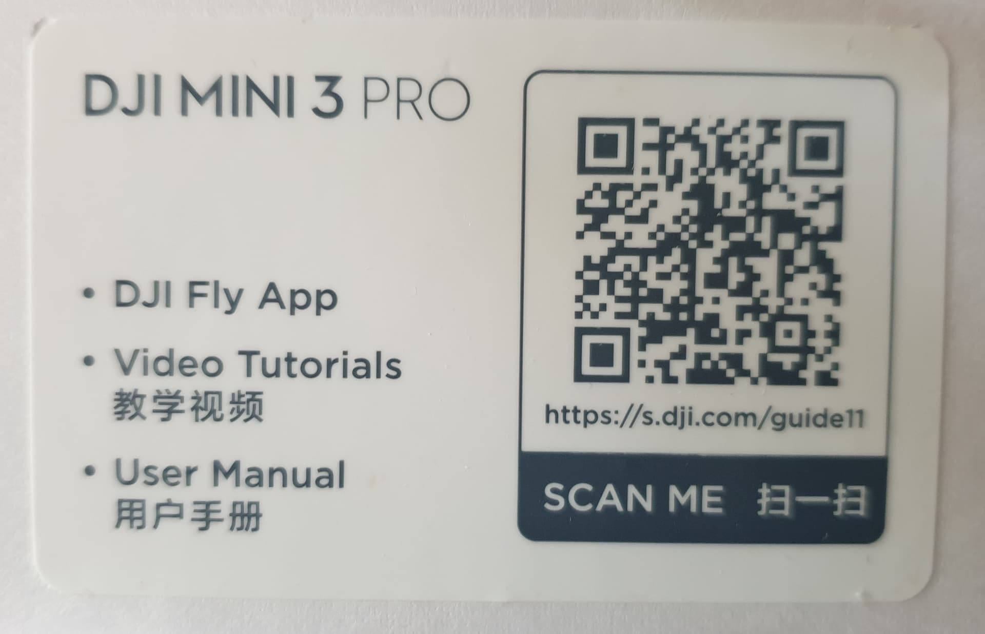
I was going to also say. No i didn’t get a QR code or link to the manual. I bought mine as Drone Only Replacement. No box. I cant afford the basic kit. I use my Air 2 Controller, batteries and purchased props.
Sorry but i don’t do paperless manuals. My vision is the main thing but what kind of company doesn’t send a hard copy with a purchase this expensive? Dang sure NOT a good one!
But thanks for pointing that out. With a purchase this expensive i should have searched for it. Maybe i will learn one of these days! =]
Now my question is. It says 30M. Well someone I believe said 30ft. UH THATS WAY OFF! 30M is about 100ft if i remember correctly. HUGE difference!
Thanks again. Sorry if ive been abrasive. I just have a full plate and this lost Air 2S just set me WAY back.