my mobile device icon wanders erratically within a 75’ or so range. i’m in my yard in a forested area, i think i have 13 satellites showing, we have poor cell coverage here but i have a verizon cell extender in the house. we get directv, fwiw. i’ve tried zooming the map in and out to cache data; thanks for any suggestions.
1 Like
The position of the mobile device icon depends on the GPS accuracy of the mobile device.
The number of locked satelites the App shows are those of the drone. Also the take off position of the drone sets the Homepoint.
Trees and buildings are known to have a negative impact on GPS accuracy.
Since you have a cell extender I would definitely switch the mobile device to airplane mode. There’s no need for cell coverage to fly a drone.
sure limits the functions, if this is just due to trees. i’m at 1441 elder mill road, watkinsville ga. i had hoped to be able to program a route down to the covered bridge via my driveway, but i guess that’s not possible. trees are about 30m high, bare now.
i wonder why the drone sees multiple gps signals but the new iphone has crappy gps lock. there’s always at least a dozen, even before gaining altitude.
i went to a large field near other large fields; the wandering blue dot was more stable, but follow mode didn’t seem to work at all. as soon as i hit start, the drone takes off in a lateral direction. i don’t use north, i’ve tried different angles. orbit worked.
i’ve read that litchi caches map data from cell data, and that zooming in and out fills the cache at a new location?
"As far as I understand litchi use google maps which has to be cached (downloaded) so you can see a precise view of it.
Without internet map view cannot be downloaded, so my map in litchi is uncertain.
(Correct me if I`m wrong)
When you download area in map, you do not need internet anymore to see that map again, they are cached and stored in your device."
So you must have set heading mode to Course.
Course only works when the subject is Moving with a speed of at least 1m/s, and when the subject is wandering, so will the drone.
Displayed Maps have NO influence on the wandering subject icon.
Course lock and home lock
In other words, how would your drone be directed. If you turn the stick towards you, the drone moves and approaches you, if you turn the stick away from you, the drone moves away from you. Try it, it’s a good feature.
A sort of extended Headless Mode. Therefore 2 functions for litchi.
yes, tribar; i had tried all possibilities, and actually had read the manual, prior to my first question.
the only thing i had found in the manual was this:
" Follow mode fails to start with error: “Your GPS location is not accurate enough to start Follow mode”, why?"
but i didn’t get that alert, and didn’t have a red warning.
i’m not sure what cacheing map data does, and don’t see it in the manual. add detail to a map background on which the gps data from the controller and drone are overlaid?
thanks, i read about these functions, haven’t used them yet. not sure how this relates to my problem, though. i’m not able to use follow, and this appears unrelated to the poor gps reception which affects litchi function but apparently doesn’t trigger the warning or block the follow function.
i’m assuming trees are my problem causing my itinerant blue dot, but i see a video online with a drone following a truck down a road lined with trees similar to my area.
to recap, i took the drone to a large open area, set it up to follow at various distances/angles, used both north and course headings, when i start to follow, the drone flies away laterally. it acts as though it’s going to a different location for the mobile device, the blue dot inside a white dot is where i am.
That, of course , means the GPS location of the smart device.
You can change this in Aircraft Settings: ‘Minimum Location Accuracy’.
For instance:
When you set this to 20m and the drift or displayed GPS accuray is less than this value, Litchi asumes everything is ok.
Caching means saving a map of a particular area to the internal storage of the smart device so Litchi can use it on that location when there is no internet connection. The DJI Apps do the same.
You don’t need a map at all to be able to fly, in any mode.
Perhaps you just panicked and reacted too soon stopping the drone.
The drone could well be flying further away than the set ‘Minimum Location Accuracy’ and/or the set folow distance at the start of a follow session, and then repositions itself to the set distance and height values.
‘use it on that location when there is no internet connection’; does setting waypoints use the map data? what functions go away without map data, i wonder.
i’m seeing differences in smartphone gps accuracy, with samsung galaxy 10 beating iphones; have you seen this, or know if it is it a functional difference?
i set follow distance to 10 meters, stopped it after 50-75 or so, tried various distances, heights, angles. this was in a couple hundred acres of open fields; blue dot was pretty stable. it does the exact same thing in my yard. orbit uses the same positioning link, doesn’t it; orbit worked.
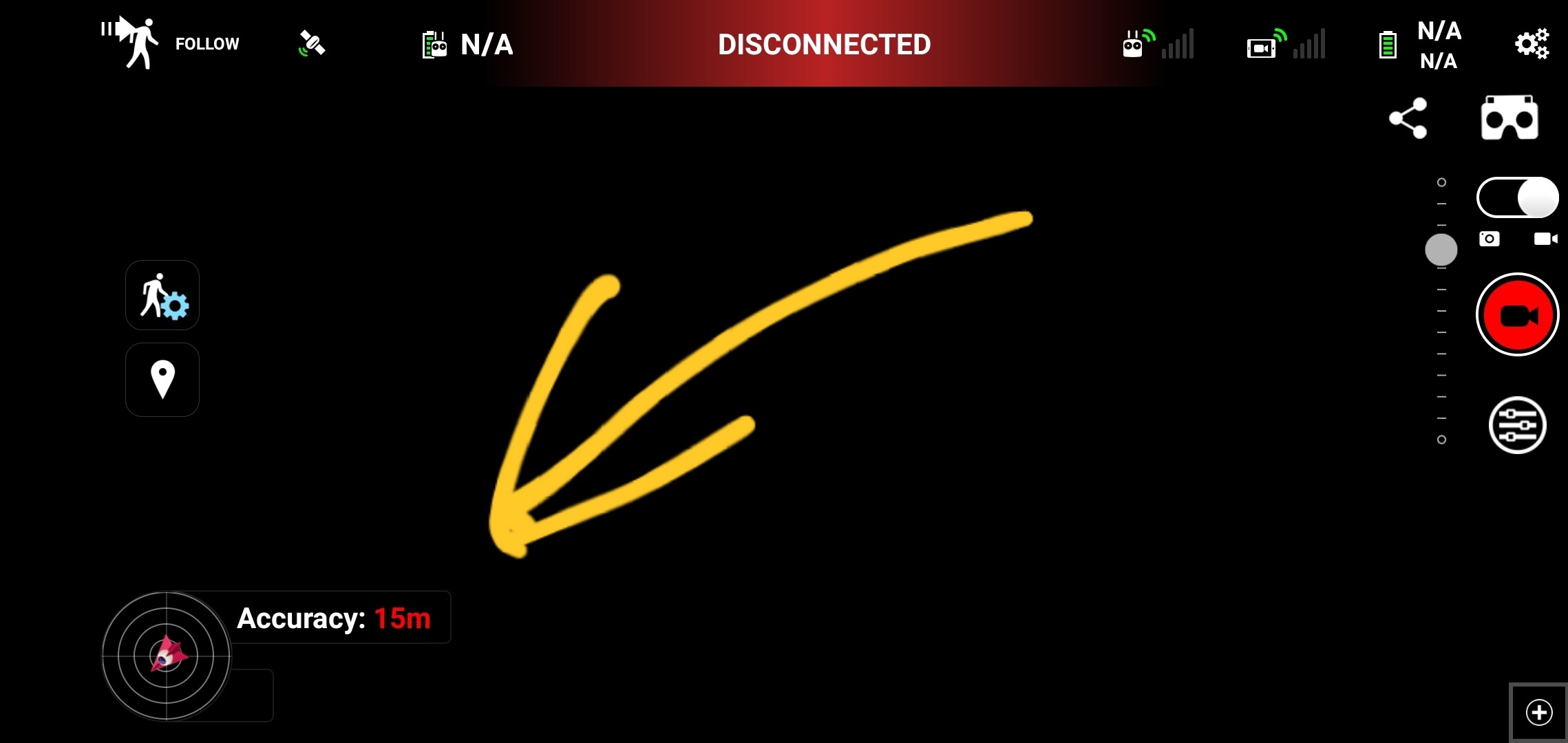
How accurate was the value at the bottom of the screen? Why are you looking at a dot if you have a value
why would you ask that question like that, friend; we’re not in a bad marriage.
A lot has happened in the last 2 years ![]()
![]()
![]()
After reply, I found that was 2 years old, lol