look how close some of these waypoints are.
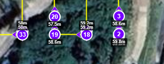
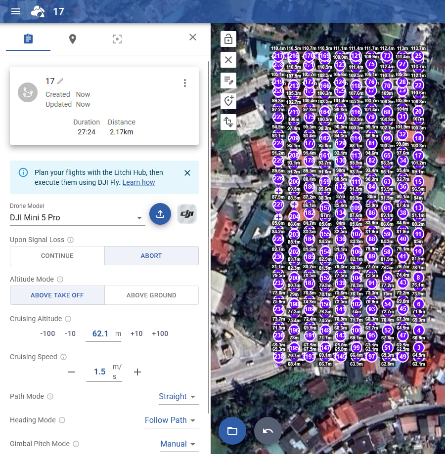
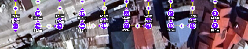
33 and 32 both have 58m and <1m apart
1 and 2 both 59.8m and <1m apart
17 and 18 both 59.2m and <1m apart
is that absolutely necessary to generate the waypoints like that?
just keep the 1, 18 and 33 (the most outer) and remove the other which are unnecessary if you ask me.
And I mean, it’s not a big issue of course - but I have the experience the lesser waypoints the better, more responsive the controller is.
I import it back - so I can get the individual waypoint planning interface available for manual adjustment of individual waypoints (cranes, high buildings, power lines, and everything else that warrants manual adjustments to certain waypoints)
When converting any DJI Waypoints to a DJI Fly KMZ there will never be a one to one match. Several of the apps I’ve used which can convert their apps mission plans to a DJI KMZ do the same the same thing. I don’t believe it’s possible for any plan to convert exactly the same and I’ve been converting plans for almost 3 years with different apps.
I truly believe what you say is true, and I’m not asking for a 1 to 1 conversion, that’s not the point.
Maybe I should rephrase what I want to achieve, I wish to achieve that waypoints which have no value to the actual flight planning not the be generated.
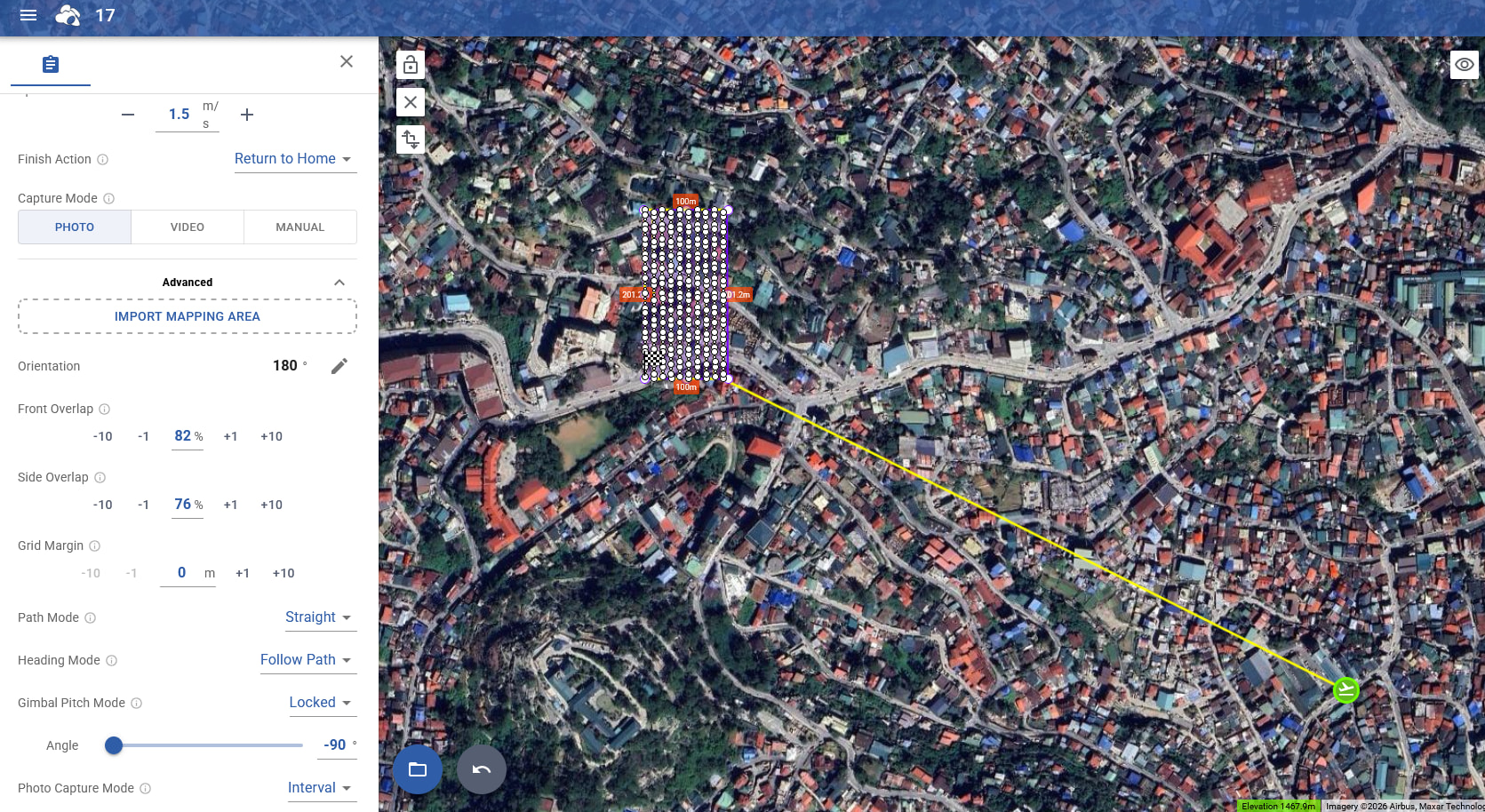
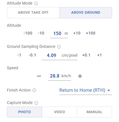
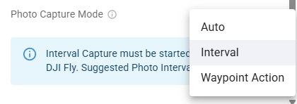
The flights are planned as “interval” for photo shooting. Not as 1 photo per waypoint.
For such a flight plan, a waypoint identical to the waypoint next to it in elevation and just 1m apart is of no value for mission planning for area survey.
Though even as 1 photo per waypoint, it wouldn’t make any sense as the overlap would be 97% or 98% and that’s just unreasonable.
Further, these waypoints are so close to each other, zooming in at max level, even then one can’t distinguish between them, that’s how close they are.
And thus, it’s unreasonable for one more reason to have them being generated
A further observation I made for the unnecessary, unreasonable close to each other waypoints - they are happening ONLY before a turn after a “longer” straight flight, but NOT ALWAYS. Sometimes they’re not being generated especially for straight flight paths <100m they’re not always there.
For straight flight paths 200m I witness them ALWAYS being generated.
So maybe it has something to do with the “Smooth curves” setting..
But I clearly set my path mode always to “Straight” I don’t want smooth curves.
So with the setting “straight” they shouldn’t exist.
One problem is DJI Fly’s straight line corners aren’t very precise in our experience, i.e. DJI may cut corners at the end of the leg. So if you remove the end of the leg’s waypoint which does not actually take a photo, the leg’s last photo might not be taken at the expected heading etc.
Also, at the beginning of the mission, we do add an extra waypoint to initialize heading etc
To mitigate this, I now do the opposite, and use the smooth curve flight, and at the end of each path I simply make sure there’s always a 2nd close by waypoint, thus a small radius turning at the end.
instead of the removal of the additional wp for the straight flight.
Basically, skip the straight flight at all, DJI doesn’t do well with it.