My client has patented software capable of detecting plant viruses and diseases with low altitude drone images. He’s requested my help in demonstrating this capability, but via autonomous means.
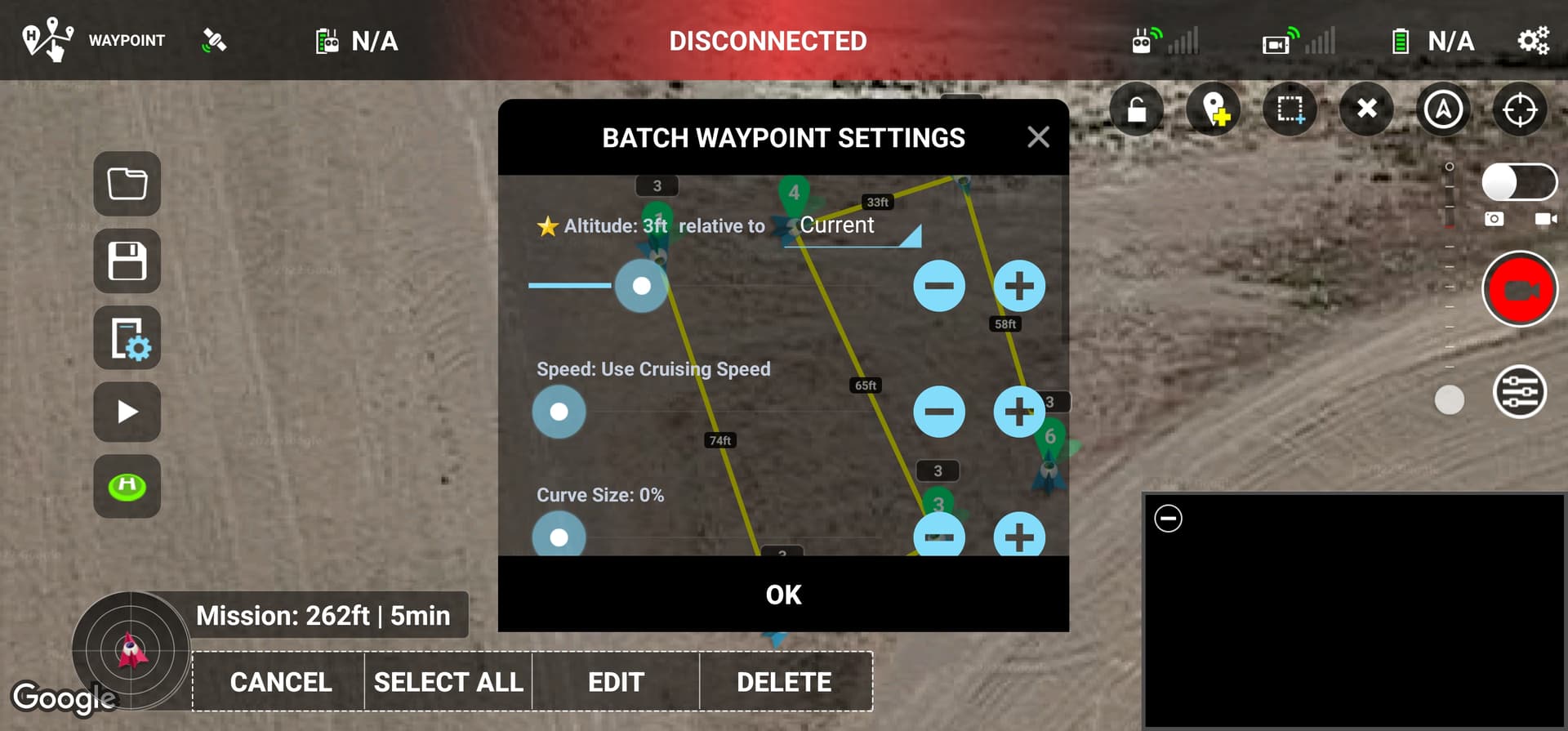
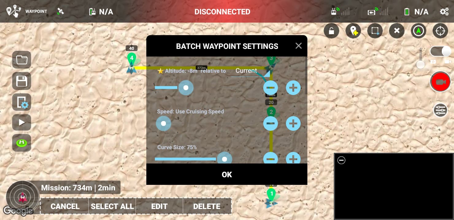
When I’ve run several test missions with waypoints set at 3’ relative to current, relative to ground and the same result always comes. The drone flies the waypoint at about 7’ the whole time. It cannot drop lower than 6’. What am I doing wrong? When I select all available waypoints to batch edit, a star appears next to the “relative to ground” feature. But, I have noticed that after I click APPLY and I go back to batch edit, the relative to current/ground/home always switches back to home.
Any ideas?