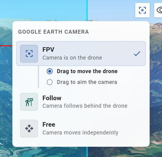
Before Aim Point, it was much easier to plan a mission. In Google Earth view, you just had to choose a viewing angle and click the camera button on the left, and the hub would create a Work Plan (WP) at that angle.
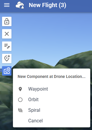
Now you have to use the 2D view to adjust the drone’s position, and that button creates a WP at the drone’s current location. And you must go to Google Earth to try to ajust it by entering numeric values.
It would be better to revert to the previous version, or give the option to turn off Aim Point.