Hi, I have to conduct manual flights over selected individual trees in a forest.
The satellite is not enough in order to identify the limits of each tree in continous forest.
It is possible to polygons (kml or other format) in the flight map, in order to see the boundaries while I fly?
Thanks!
Are you going to Orbit the individual trees for survey/monitor purposes?
How are the selected trees going to be identified?
Some additional info will help to clarify the issue and see how (and if) we are able to help with a solution.
Thanks. No I don’t need to orbit, Just go down and take close photos of the vegetative structures (leaves, branches, fruits). since it is risky I need to flight manually. The boundaries of the canopy are just a visual reference of the extent of each tree. I build it as a shapefile, I can convert to kml or kmz.
When a kml file is imported into a Litchi waypoint mission, it is used to define the flight path of the drone not to define any kind of boundary.
Litchi’s Mission Hub does not provide the capability of loading shapefiles or geometry of any type. As a result, any Litchi solution will be a hack or work-around. Here are a couple work-arounds for you to consider.
-
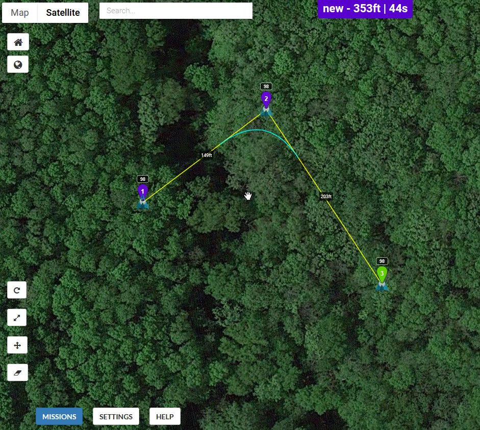
Create a mission by placing waypoints on the trees of interest. Then, when on-site, load the mission but fly manually using the waypoints only as guides to the trees of interest.
-
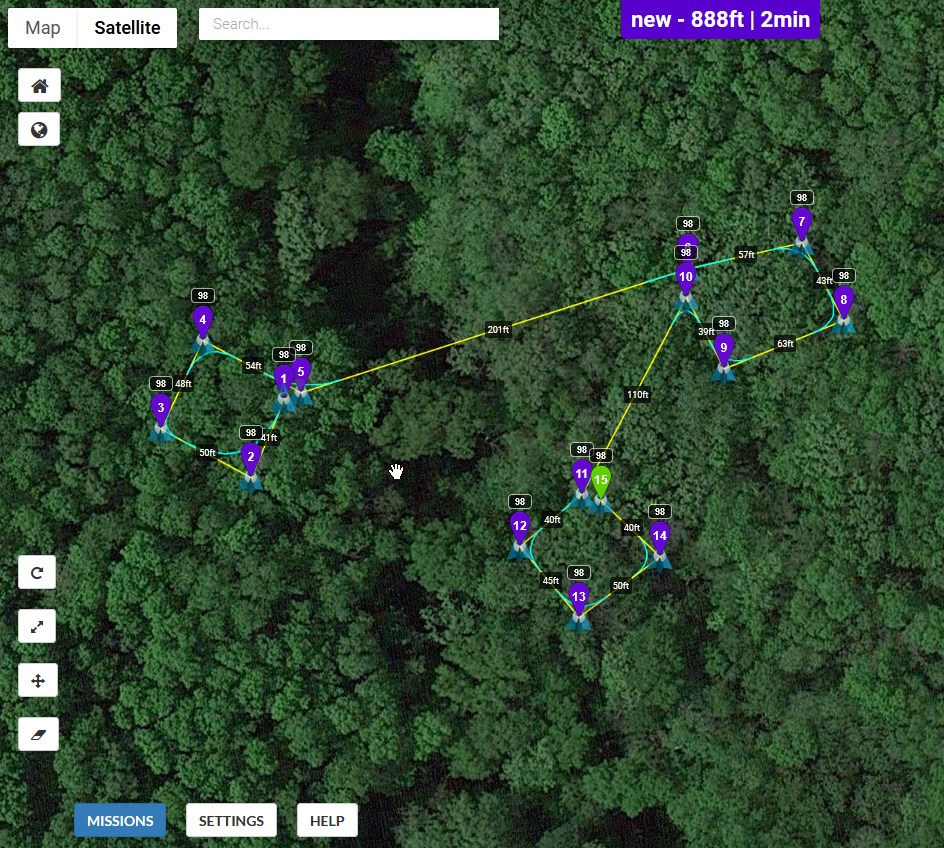
If it is important to define an area around the trees of interest, manually enclose them in a waypoint path. Then, when on-site, load the mission and again fly manually using the waypoint route as a guide.
I understand this is a hack but it might get you close to what you need.
1 Like