Hello Everyone,
I got a used Mini 2 to carry out inspection of my roof, more or less, a couple of times a year.
It is a simple activity of checking the condition and cleanliness of the roof, solar panels and gutters.
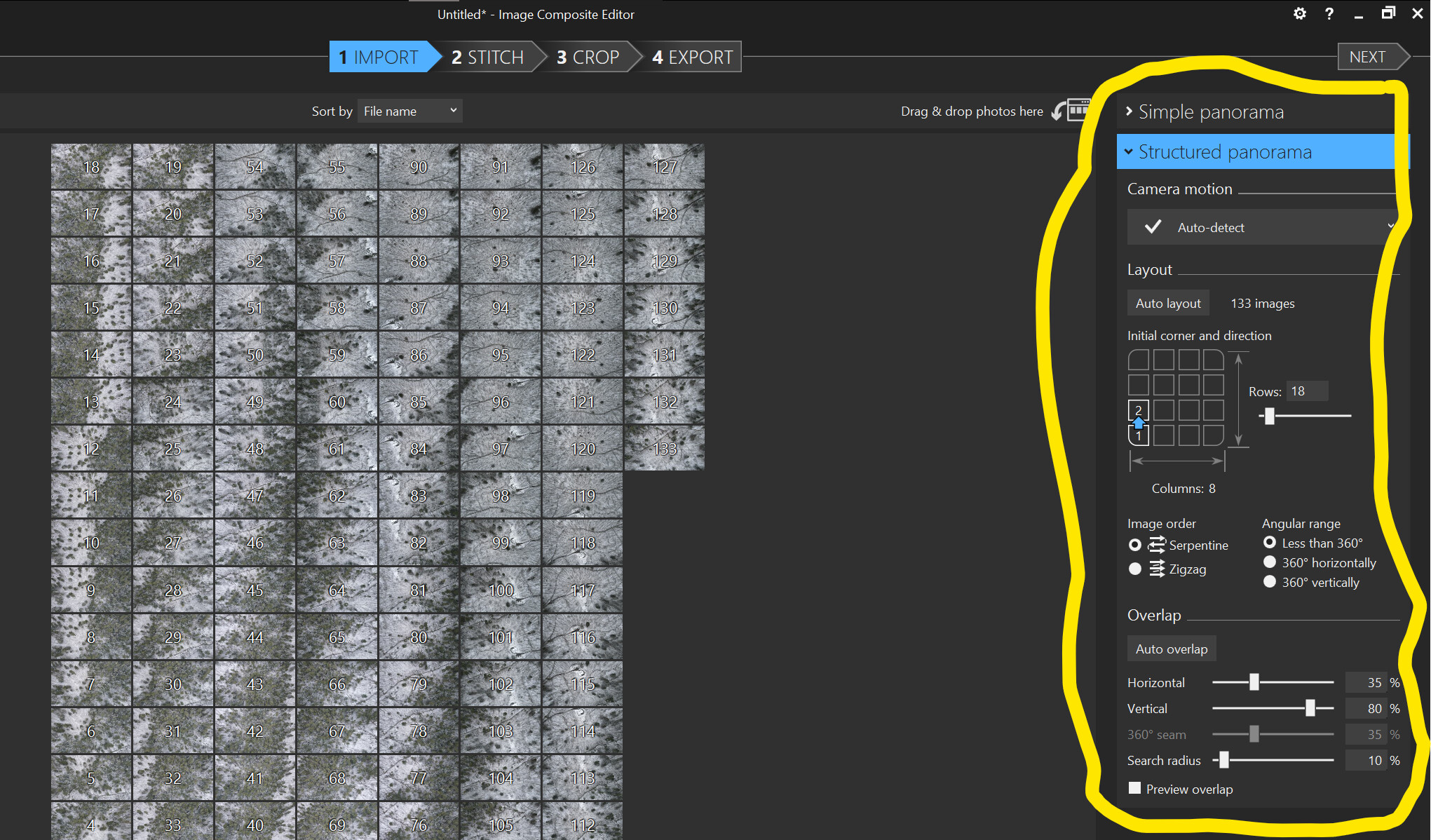
In my head, I had created the initial idea of getting a ‘panoramic’ photo by combining several individual shots, so that I would have one single high-definition photo of the entire roof.
Before getting the drone, I had researched various solutions for creating grid paths (Grid Mission Designer from my new idol @James1 ), a guidance system that would allow flight by waypoints (Litchi), and I then concentrated on finding a drone that was compatible with what I had described (DJI Mini 2).
Unfortunately, I took it for granted that one could easily create images composed of the union of many shots (panorama type).
I am now coming up against the problem I had overlooked, namely the realisation of what I only later discovered was called an orthomosaic.
Is there a simple and, possibly free, system to satisfy this personal and private need of mine?
I have actually found many solutions online, but they all cost a lot of money or are very complicated.
PS. I just found WebODM lightning and opened an account.
At first glance, the interface does not seem very friendly to a newby like me. I guess I will have to work hard to achieve my (apparently) simple goal.
Of course any help or advice will be greatly appreciated