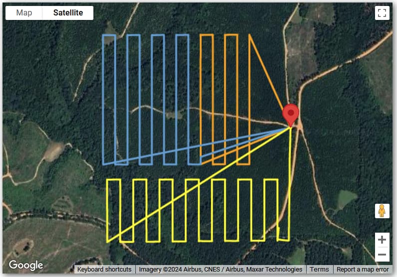
It would be great to be able to view all of my saved missions paths in one map. Perhaps a overlay box with all the far cardinal waypoints as corners. This would help determine if I have covered an area with multiple missions
My goodness, that would make for a cluttered screen for Litchi users like me whose DJI drones have covered thousands of waypoint miles.
I doubt whether Air Data would be capable of displaying all saved missions on a single map, though one imagines that individual Litchi users with sufficient image manipulation skills might find a way to superimpose several waypoint flight paths on the same map. I’m curious to find out how this idea gets implemented so I’ll stay tuned.
Pup, you are spot on. I have done such a thing with AirData by ‘grouping’ several flights together and displaying them. See this screenshot.
Wow, these are very polished results. After sending drones on thousands of miles of autonomous Litchi waypoint missions over the past few years, I am about to try my hand at mapping for the first time, so seeing how skillfully you superimposed two different missions on the same map is food for thought.
