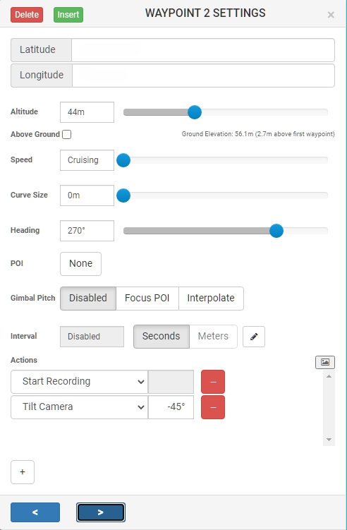
When I generate a mission in mission hub and export to csv I expect that the gimbalpitch angle to be field number 8, according to the header: latitude,longitude,altitude(m),heading(deg),curvesize(m),rotationdir,gimbalmode,gimbalpitchangle
But, the values I get (for a waypoint with heading=270 and gimbalpitch=-45), the gimbalpitchangle is at field 12: lat,lon,alt,270,0.2,0,0,0,2,0,5,-45
What are the values “0,0,0,2,0,5” between curve size of 0.2 and heading of 270?