Will Litchi work with the brand new Mavic 4 Pro. Is it on the map of Litchi?
There is no way to know at this point. It is all up to DJI and whether or not they choose to support it in their MSDK.
1 Like
Hi,
Just checking in - is there any update on this? Specifically, is it possible to use the Litchi apps and Mission Hub with the Mavic 4 Pro and DJI RC Pro2?
There is no update. It’s all up to DJI.
I wasn’t going to say anything but I would just add to what Wes said and say I would not hold your breath. DJI unfortunately wants everyone to purchase the more expensive Enterprise drone series like the Mavic 3E, Matrice 4E or even more expensive drones like the Inspire, other Matrice or M series drones.
DJI abandoned SDK support for the majority of consumer drones since the Mavic 3 series came out which means both Air 3 series as well. The only consumer drones which have SDK support are the Mini 3’s and the Mini 4 Pro. So far they haven’t even added the SDK support for the RC Pro 2 controller even though the RC Pro is supported with a few drones. There is rumor of it being supported in the future but it’s anyone guess if and when. You can go through the DJI forum and see how many pilots over the last couple years are ticked off about the abandonment of any SDK for all the consumer drones. I’m not sure what DJI is thinking but I know there business has dropped substantially. I guess when you are a Billion dollar company you just don’t care. A huge mistake in my opinion.
So exporting kmz from litchi and moving file to rc2? Is not a valid workflow to fly terrain mapping?
It is a valid workflow. Why do you suggest otherwise?
if one creates a flight plan and exports to KML.
Right now if I control the drone with the litchi app, the drone will follow the terrain as per google data what is available to the litchi app.
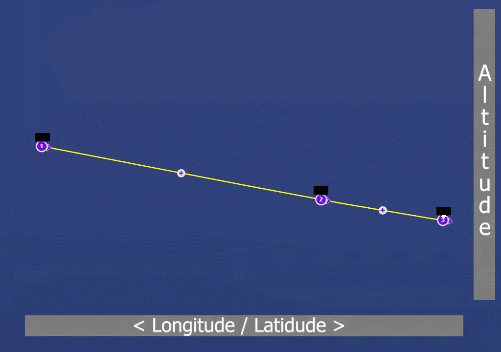
If I generate a flight plan, relative to terrain, and export to KML, point 1 is at 40m and point 2 is at 20m, every 5m a photo, 10 photos between the points.
will the RC2 then also gradually move the drone over the length between point 1 and 2 moving from 40m to 20m step by step every photo a bit lower?
Thank you
To create a DJI Fly Flight Plan (waypoint mission), you have to export to KMZ, not KML.
When the flight plan only has 2 waypoints, then YES, otherwise NO.
DJI Fly doesn’t use Straight Lines.
It creates a 3d flight path with smooth curves through all waypoints.
What this flight path looks like depends on the position in 3d space of the adjacent waypoints.
Thank you for the answer TriBar
So to clarify, if I generate a flight plan with litchi..
a normal area survey flight plan for a 100x100m area with every 10m between the flight-paths east going west and west going east.
export to KMZ and then import at the RC2..
it won’t follow the straight lines from the Litchi app but makes curves?
No workaround?
Not that I know of..
1 Like
Thank you TriBar - then the upgraded DJI pro models are basically not worth their price anymore .. sad because until the Mavic 2 Pro had good experience with them.
I guess one has to wait then for the DJI 4 Enterprise and that’s what DJI wishes, downgrade pro models to basic models to force people/companies, etc to buy the Enterprise models
If you are referring to the “Distance Interval” function in Litchi it is important to know that while the WPML language does support distance (and time) intervals, the DJI implementation in DJI Fly does not support them. When a distance interval is configured in a KMZ file, and loaded into DJI Fly and executed, the drone will only take one photo at the end of the sequence.
The drone will fly the expected route but will not capture the interval photos.
While it is true that DJI Fly does not provide a way to create a straight-line mission, the WPML language does support them. If a straight-line Litchi mission is converted into a KMZ file and loaded into DJI Fly, mission displayed within DJI Fly may look incorrect, but it will execute the straight-line mission properly.
It will. When a grid mission is exported from the new Mission Hub as a KMZ file, the WPML code includes the “use straight line” parameter at each waypoint with the proper “waypointHeadingMode” for straight-line missions.
Give it a try and report back.
Thank you for the reply Sir Wesbarris,
we haven’t procured the Mavic 4 Pro yet. I’m right now in the process to acquire information what is new on the market and can be used by us. We used Litchi and Mavic 2 Pro thus far with great success and ease of use.
So the DJI Fly will follow the KMZ set flight parameters, but won’t make any photos between the waypoints.
Which is then the “no go parameter” for orthographic area surveys.
So basically the Mavic 4 Pro can’t be used for area surveys anymore, unlike it’s pro predecessors, because it won’t capture images between waypoints.
and with a waypoint limitation of 200, one would basically have to generate a huge amount of flights for larger surveys - which is out of the question for practical reasons of course.
This review mentions with the DJI RC Pro 2 one doesn’t need DJI fly or other apps but can use the drone with the controller alone. And with the build-in screen why using an app.
How would that work, loading the KMZ file straight into the controller not using any flight app at all?
Will that work?
That is correct because currently DJI Fly (or their consumer drones) do not support the time or distance interval functions (even though they are part of the WPML language).
It can be used but would require a waypoint for each photo taken.
Yes, however, it also depends on the controller being used. The ability to execute a large mission depends on the KMZ file size (not strictly the number of waypoints) and the device being used to run DJI Fly. I know of people who have successfully flown 900+ waypoint missions. There are others who have had 200-point waypoint missions with camera actions that fail to load on an RC2.
You can fly any(?) DJI drone without an app by using the equivalent of an RC-N1 without a phone/tablet. However, doing so limits you to what you can do with the buttons and sticks on the controller. Having a device running DJI Fly adds a lot more functions that can be used.
You need DJI Fly (or equivalent software) to load a waypoint mission to the drone.
What I do is manually start the timed photos on the controller when my drone gets to the starting point. It would be great if the litchi mission could trigger it but this works for me.
1 Like