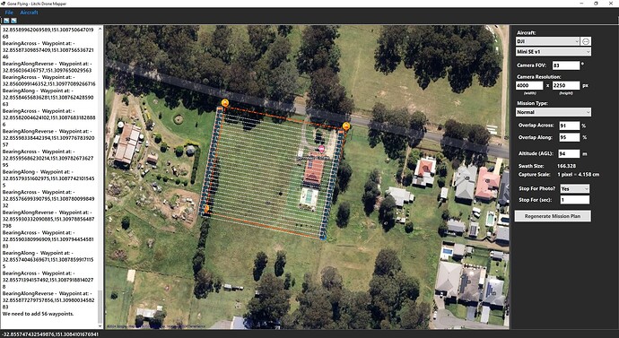
Hey guys, I did post a previous thread regarding Map Pilot Pro file conversions for Litchi. I’ve removed that requirement now, so this is going to be a completely stand-alone tool that will export Litchi compatible/formatted CSV files to follow the flight planning for collecting data in the field.
I’m really excited to see how far this project comes along. Note: I know about Litchi Virtual Mission software, but it doesn’t go into anywhere near enough detail for what I need, so the need for this software is high for me, and I would say it will be useful to the community.
Still working on the project, so bare with me while I get it polished and ready. Thank you.
