Hi everyone.
Two weeks ago I flew my Mavic Mini with the Litchi App and after a while of flying I lost control (only about 50m away) and the drone went down. Unfortunately that was above a rice field and it probably did submerge in the end since I lost every contact…
The problem is that I did fly in FPV mode, with goggles on, so I didn’t see where the craft came down.
I have a last picture (rice plants from below) and a last position on the screen. But they don’t match as there is no rice for 10m around where the last position is indicated. I did search the area around that indication but didn’t find the drone.
Now my question is, is there a way to retrieve the flight path with Litchi? That could help to narrow the possible crash position.
Any help or comment is welcome.
Thanks a lot.
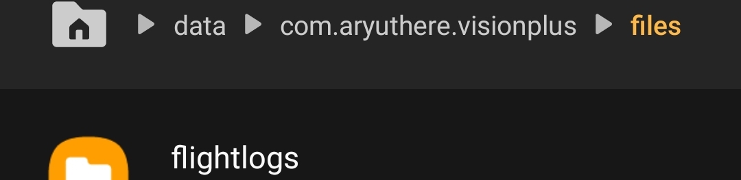
Your phone has a .csv file. It contains the flight path. If it is preserved
Hi paxxa. Thanks for your help. Indeed the position in the flight log is completely different to the one litchi gave me. I’ll go there again this weekend and try my luck again.