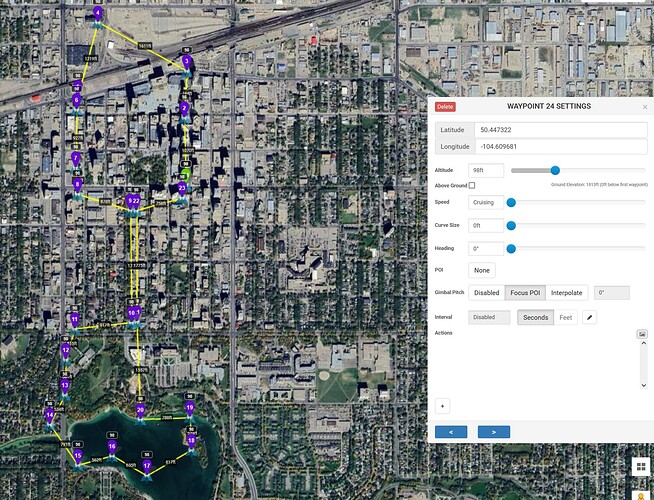
I would like to be able to import a shape file and create my own missions within that shape file. When I import a kml created by drawing a polygon in google earth pro, a waypoint mission is created by Litchi. I ONLY want the shape to be used and I will decide what happens within that shape.
Is this possible?
It sounds like you would like to import some geometry to define boundaries and then create a mission within those boundaries. That is not possible with Litchi.
