Hi, I have a job to do in a mine and as mines are constantly changing landscapes and shuffling earth mountains around it is not enough for me to use Google Earth satellite images. I would need to import an updated satellite image of the region into Litchi instead.
The mine is constantly doing this type of surveys and they can send me this data, however what format should I ask them to send me and how can I import and overlay this image on top of Google Earth satellite image within Litchi app?
Hi,
Currently it is not possible to overlay photos on google map in litchi.
Kaehn, I am in the same situation as is LPHill and I understand the situation. I need to lay a plat of a new housing development on top of the mission area to build Litchi missions for each lot. It would be the easiest to overlay an opaque plat over the Litchi map instead of entering all the lat/longs individually.
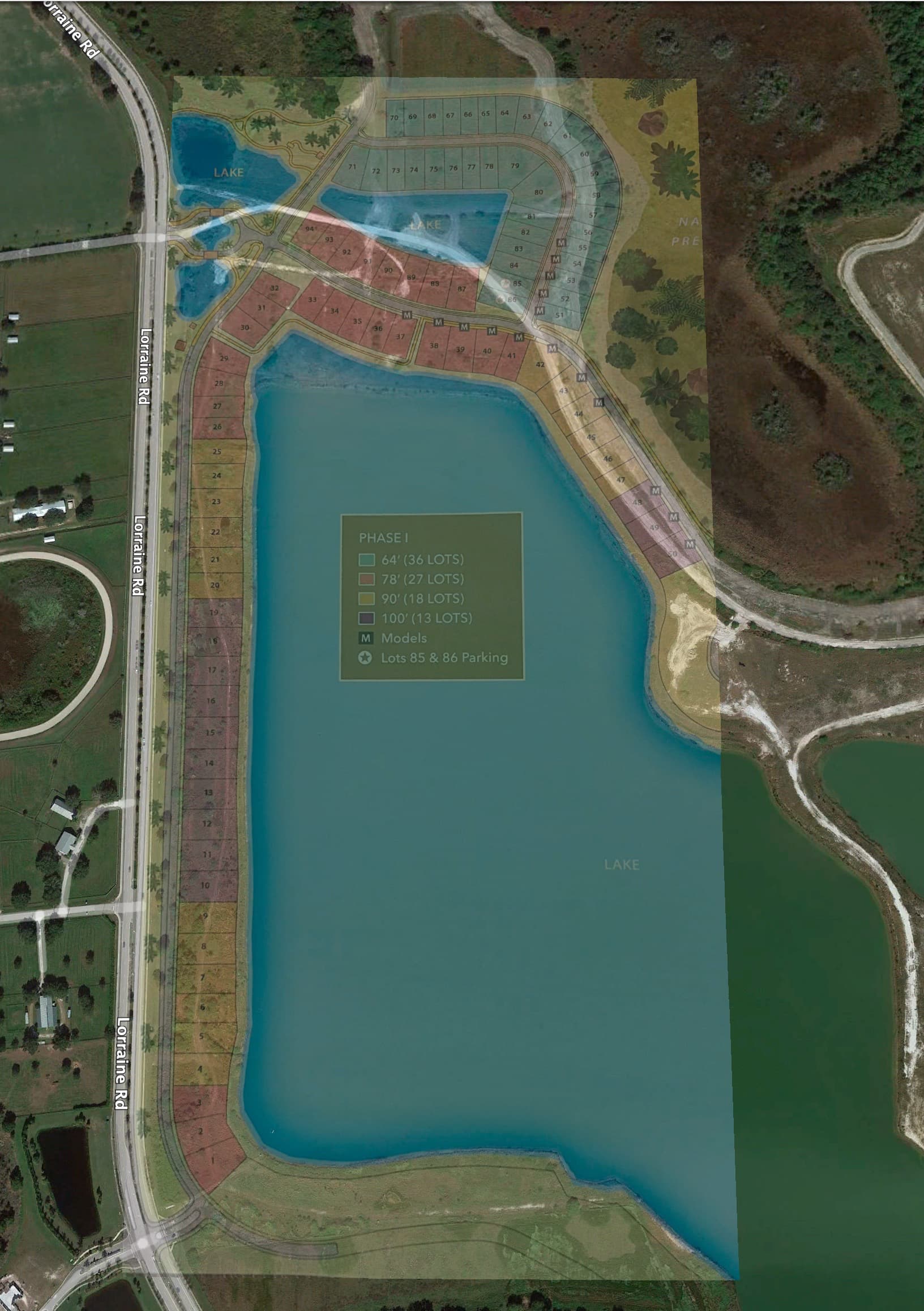
My recommendation would be to use Virtual Litchi Mission with Google Earth Pro.
You can overlay images and set their transparency in Google Earth Pro. Here are the steps I would try:
- In Google Earth Pro, right-click in the “My Places” navigate menu on the left and choose “Add → Overlay Image”. It’s been a while since I’ve done this so you may wish to do a search for the required steps.
- Design the mission as best you can in Litchi’s Mission Hub.
- Use VLM to transfer your mission to Google Earth Pro.
- Observe and fly your mission in Google Earth Pro.
- Return to set 2 and tweak your mission as necessary then repeat.
1 Like
I’ve just produced a video that shows how to import your images into Google earth pro to solve the problem of outdated images
An easy to implement method to overcome outdated images in Google Earth Pro, Import your own

2 Likes
Thank you very much. I was close but needed the idea to fly in GE with Litchi. I will let you know how it goes.
1 Like