I’m still learning how to use Litchi, so far with our DJI Spark, and I’ve noticed my positioning for my homebase is off by a fair distance. You can see the actual homebase is where I am located at the blue dot on the patio, but it’s assuming my launch position is further back in the parking lot. This is concerning to me enough that I’m hesitant to plan waypoint missions ahead of flight. A few days ago, I did a test waypoint mission at a different location and noticed the same issue. I should have used a larger space, but I still proceeded to start the mission and lost control between the first couple of points when it hit a branch, then the sidewall and crashed down. It shouldn’t have gone near the tree or branch to begin with is the problem and I worry that my whole route is off based on where it thinks my take off position is at. Any advice or tips? Also, I’m considering only creating waypoint missions while in flight from here on, is this more accurate? Any input on this? Thank you so much.
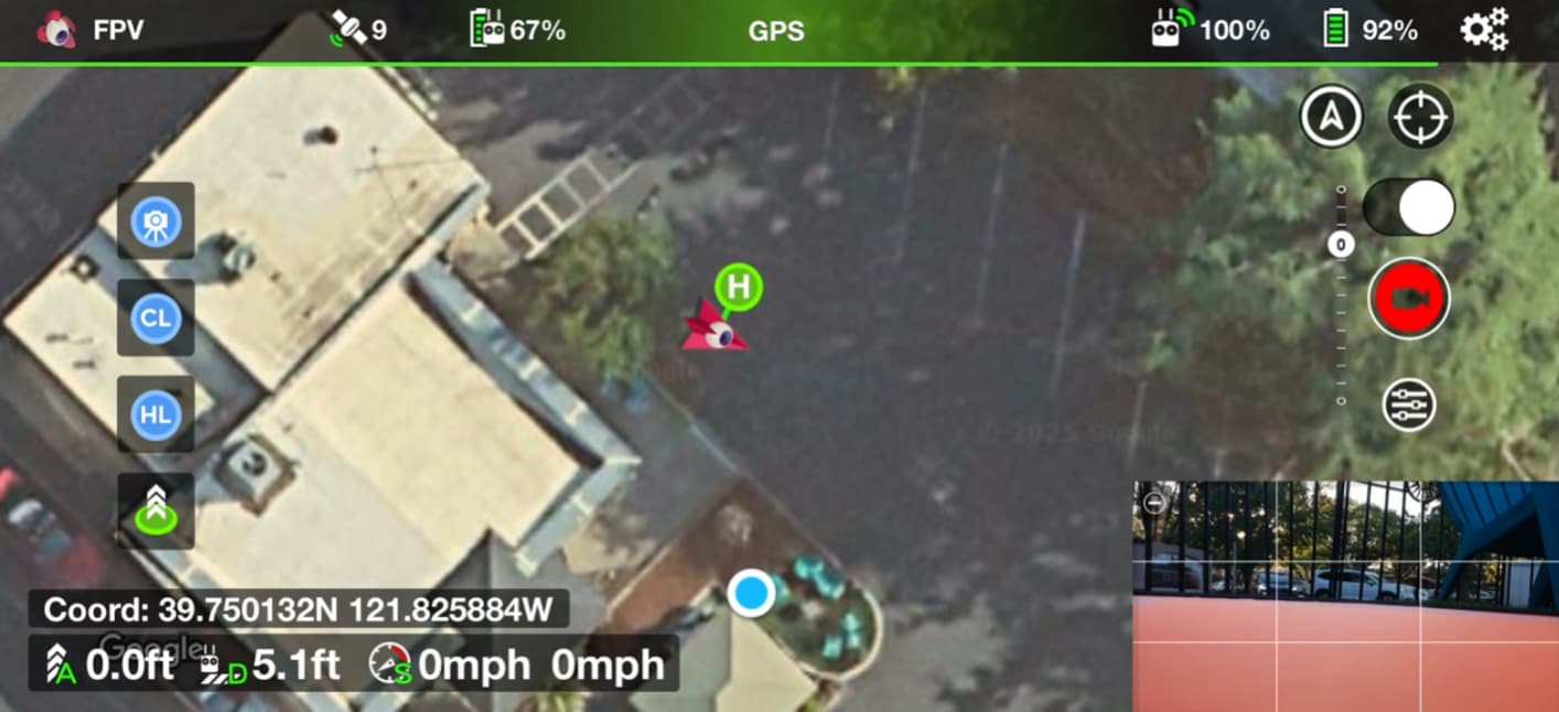
The distance between the two does seem excessive. It’s hard to tell, but from the satellite view, it looks like it is 6 to 10 meters. While the number of satellites is not the most important consideration, 9 seems a bit on the low side. If you wait longer, do you see that number increase? Do you see this same difference every time you are ready to take off?
It really depends on what is causing this offset. If you plan a mission while flying and then whatever is causing the offset problem stops causing that problem, re-flying the mission would also show an offset. I’ve been flying waypoint missions for years and 99.9% of my missions are planned on the computer. While I have experienced some GPS inaccuracies, they have only been by a few feet. However, I am normally not flying close to any obstacles at all.
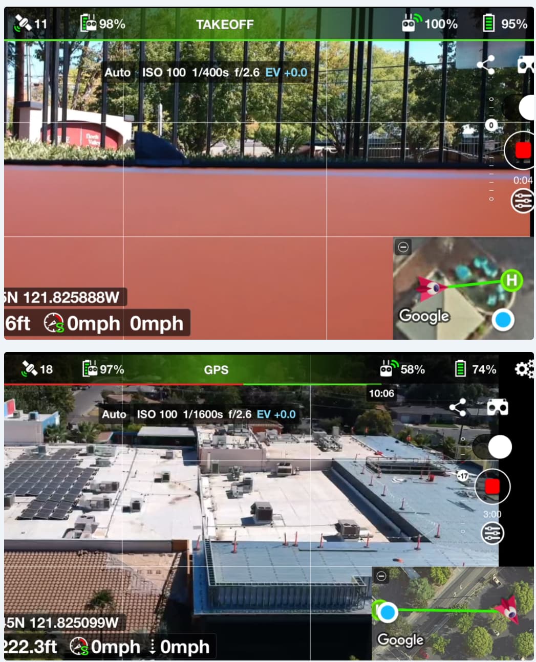
Thank you so much for this insight. I hadn’t paid mind to the number of satellites connected before. Here’s a screenshot from the same area just yesterday. It was more accurate to my location I was positioned at, which was on the green by the teal patio furniture. At takeoff, I had 11 satellites detected, and while in flight this fluctuated up to 18 satellites. As I revisit the site, I’ll take note on my positioning, where it shows on Litchi and the satellite count. It’s been less of a concern now that I’m flying FPV only and put Waypoint missions on hold. But, I do want to try the waypoint function again.
While the satellite count is important, the most important thing is for the satellite icon color to turn green. This signifies that the software has determined that it has sufficient satellites for GPS positioning. Normally, one would expect the satellite count to be up around 20. Sometimes more. Sometimes less.