I experienced a pretty strange bug (?) when flying my DJI Mini SE.
When flying the drone (field, cold outside), the altitude was pretty inaccurate. Besides that, what was even worse: when I tried to fly a track on a specific height (e.G. 5 or 10m above ground), the DJI kept going down linear (!) and would have crashed if I didn’t stop, although all waypoints have the same height. The distance between them is perhaps 10m. The phenomen is reconstructable.
How could that be? I don’t find any settings about height and - what I was even more afraid of: as I know the air pressure is used for the height all over the way, but why didn’t the distance sensors stop the drone when it was around 1m above ground (and the app still showed 5m?)?
Thats interesting! But why is that causing also an inproper / incorrect height reference? How is it measured, not due to the air pressure or something?
Barometric pressure fluctuates based on elevation levels, wind patterns, and temperatures.
When warm air, which is less dense than cold air, is pushed into an area by wind, the barometric pressure in that area will fall resulting in a higher altitude reading.
Was the height readout on your screen a constant 5 meters or did the height readout gradually change from 5 - 4 - 3, and down?
If the height readout was constant then maybe the height of the ground was changing and not the height of the drone. The drone height is determined from barometric pressure and is usually reliable. A reduction in above-ground altitute may indicate a configuration flaw in your mission.
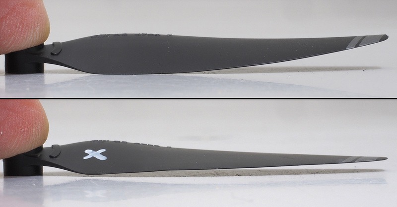
If the height readout was displaying a reduced height over time (being different from the configured mission) that would indicate a problem with the drone (possibly defective propellers).
Two things would help to determine the true cause of what you experienced:
Share your waypoint mission
Share your AirData flight logs
Those would provide the actual reason for what you described.