Hello,
appreciate anyone has workaround to plan a mission of a corridor(linear) mapping of a road. the width is 100m and 3km long.
Hello,
appreciate anyone has workaround to plan a mission of a corridor(linear) mapping of a road. the width is 100m and 3km long.
Check out Litchi Utilities by @wesbarris Corridor Mapping Mission Creator
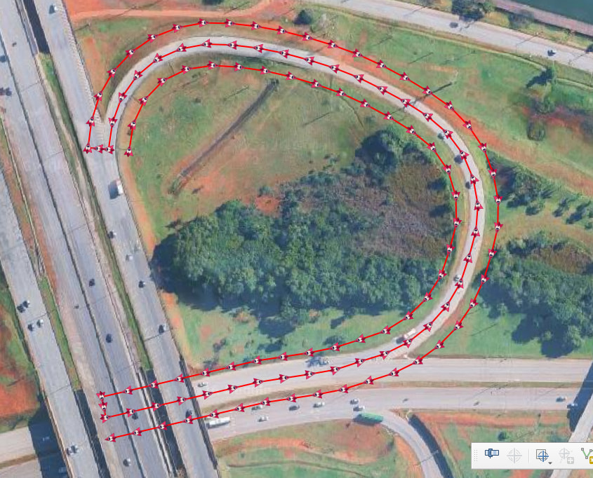
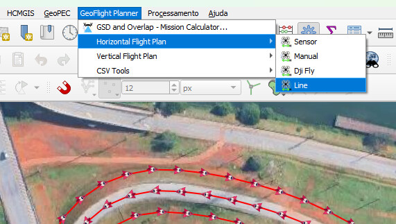
Plugin “Geoflight Planner” in QGIS solve this question. You choose space, lines number , … In menu, chose “horizontal flight plan”, and “line”. After you export csv to litchi…
Thanks @wesbarris for your reply. It works, but there are two issues:
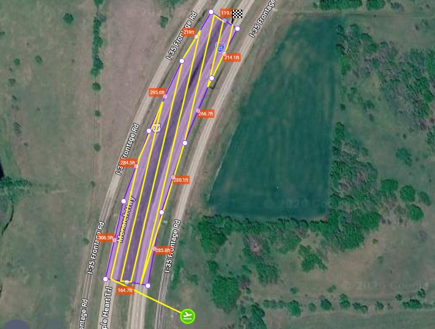
1- As shown in the screenshot, the straight flight path leads to more time due to excessive turns.
2- For long corridors, the mission must be manually split to remain manageable and within the battery’s capacity.
Thanks looks great, sure I will test it