I have created another mission utility for Litchi. This one is for creating cardinal direction photo missions.
A type of mission that is sometimes useful for real estate is a mission which will automate the capture of a set of photos at the cardinal directions around a property. For example, one might want to have a photo of a property from the north, east, south, and west. While this can be done manually, this application will help to automate that procedure.
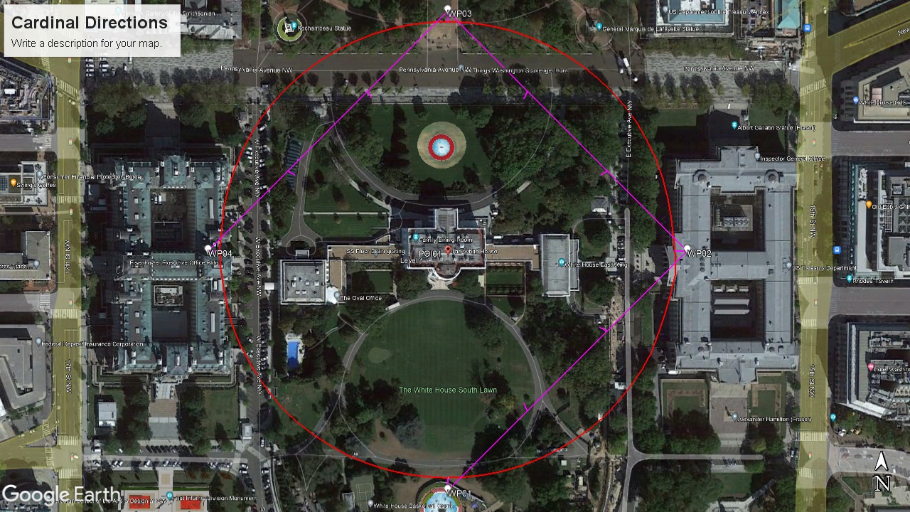
Don’t actually try to fly around The White House!
Using Google Earth Pro it is possible to create a circular path around a property so that the created path can be used to define the cardinal photo locations that can be imported into the Litchi Mission Hub as a waypoint mission.
This web application will take a circular path (from a kml file) and use it to produce a set of four (or eight) waypoints, each with the appropriate headings, gimbal pitch angles, and photo actions. While you might be able to do this manually, this application will help to make that process very easy, allowing one to specify other parameters such as the direction of travel and height.