Hi Trevor,
Use the above-ground altitude option.
Set your first waypoint near your takeoff point and assign it an altitude.
Then, plot your subsequent waypoints along your path with the desired altitude.
The following waypoints should follow the terrain elevation while still maintaining the target altitude above ground.
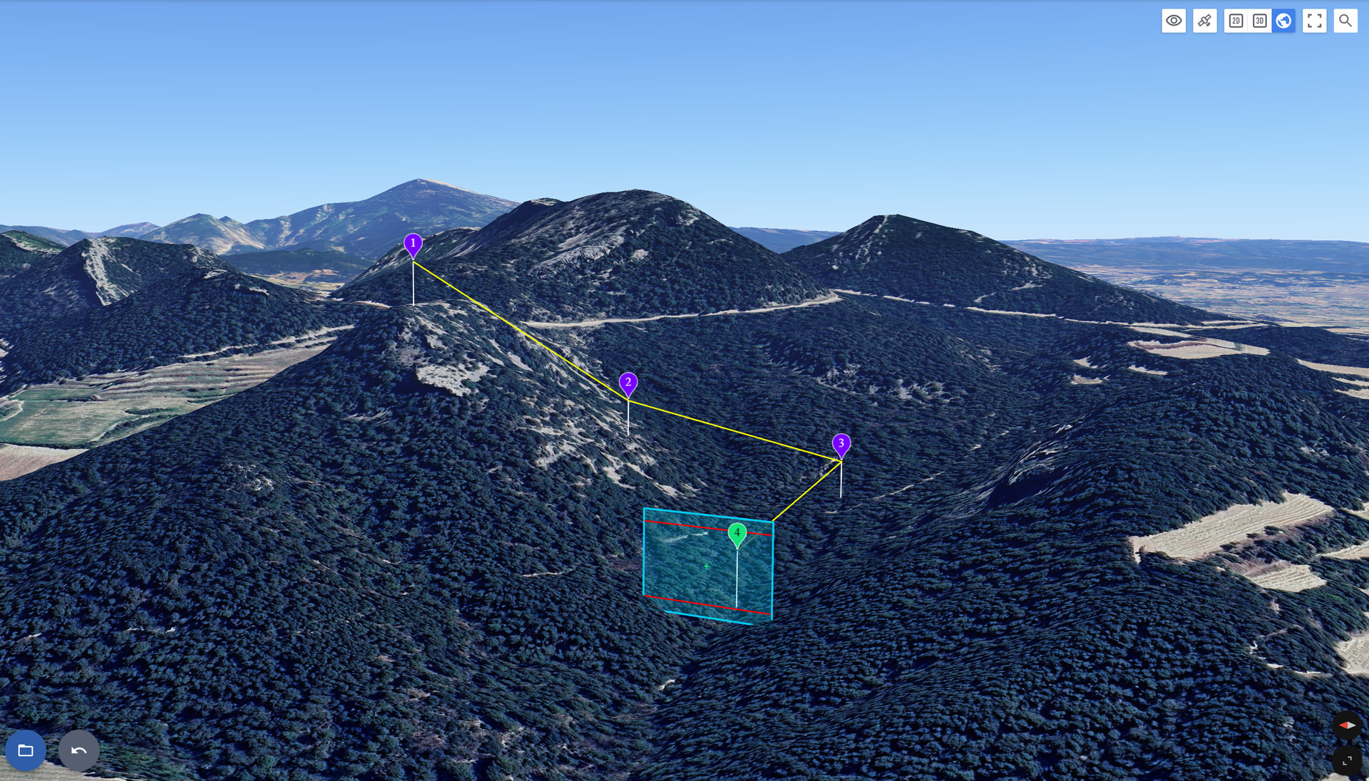
Here’s an example of a flight taking off from a mountain:
If you need further assistance, feel free to share your flight on the forum or by email at support@flylitchi.com