Check “above ground” in mission hub, do you see this setting?
Tribar
Thank you so much for your detailed response.I think your DEM is the way to go for me.
Im launching about 50 meters above my first waypoint which is approx 500 meters away. Does this sound right to you?
Altitude Modes
By default waypoint altitudes are relative to the take off point (which is also usually the home point).
If you enable the “Above Ground” option in the waypoint settings, the altitude you enter will be relative to the ground below the waypoint.
The “Above Ground” option can only be enabled if elevation data is available for the waypoint (see Elevation Data section below).
When “Above Ground” is enabled for a waypoint, the waypoint’s icon will show 2 altitudes, the altitude above ground (yellow) and the calculated altitude (white) relative to the take off point which will be the altitude sent to the drone.
Important To calculate these altitudes, it is assumed the first waypoint is in the same location as the take off.
Wow.
Great feedback, guys.
So if Im understanding correctly, there is no way of creating a Mission via the Mission Hub where one can launch from ABOVE the first Waypoint?
Or am I completely missing the point?
ie: Im at home an have created a mission via the app that just so happens to occur away and below my verandah. Ive plotted the entire mission via google earth and mission hub. But Mission Hub is always going to assume that 0 meters is my launch point?
Am I missing something here?
You can put for example “-15 m”
The flying height of the drone is determined by barometric pressure.
The moment you launch the drone it sets the measured barometric pressure as reference for all other heights.
In other words: All heights are relative to the take off point.
That’s why WP1 should also be above the take off point to correctly calculate the height above groundlevel using DEM/groundlevel data.
This has nothing to do with the Mission Hub, it’s just the way drones determine their height (when downward sensors are no longer effective).
You can launch from above the first waypoint, but calculated AGL heights will be off.
Don’t worry about working out heights above sea level.
The mission hub knows how high the take off point is above the sea by using Google earth elevation data.
Which I have found to be usually accurate to well within plus and minus 2 metres.
As far as the drone is concerned, the take off point is zero metres, as a reference point for all waypoints.
It is a good idea to set the first waypoint close to the take off point, and about a metre above it.
I set all my mission waypoints to … above ground … in the mission hub, then I don’t have to worry about dronie
crashing into the ground, because it sorts out the height it needs to be at every waypoint by itself.
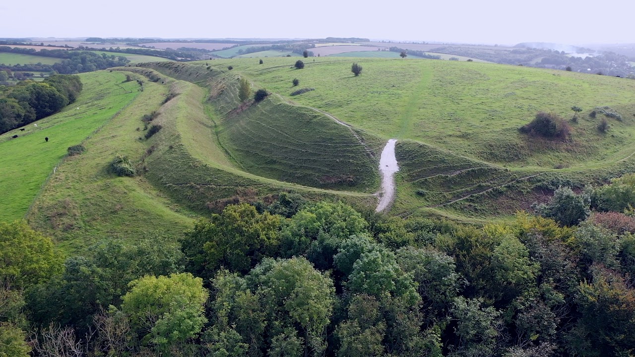
This is very usefull for following the contours of extremely undulating ground, where the drone will go plus and
sometimes a lot of minus metres relative to the take off point, where it will often be out of sight for a few minutes.
See one of my youtube videos for a good example of such undulating ground >>
Tri Bar/ Archer
Thanks guys. I suspect that your solution is the way to go. Ill try setting the first waypoint from my launch.
Many thanks for the good info.
This is the main thing you need to know about it
Yeah, thanks BPA.
Couldn’t have gotten there without you.
Even the simplest mission has to be edited several times to get a good video result. So start with the main waypoints and then complete the mission with waypoints and poi
Have you enabled VPS in main settings?
