Litchi’s altimeter is a little lower than the “Elevation” app, I ask: what parameter does Litchi use for this altitude? Attached print of Litchi and the app.
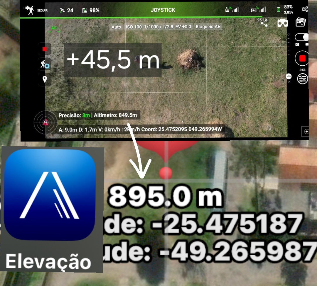
The values you show (895m or 849.5m) are probably GPS altitudes. GPS altitudes are only approximations based on a reference ellipsoid that approximates the earth’s surface. They are useful for aircraft navigation when flying 10,000m above the earth’s surface but are of little use to drones that typically are no more than 100m above the earth’s surface.
I wouldn’t be concerned about the difference displayed by the two applications. There is not enough accuracy in GPS altitude for that difference to be significant.
2 Likes
It is also possible that those two altitude values come from two different elevation models. Google provides one commonly used elevation models. There are a number of other providers of elevation data. They don’t always agree.
3 Likes